

|
Getting your Trinity Audio player ready...
|
ALERT. From the United States Geological Society (USGS) on July 29th, 2025.
CANCELLED midday on July 30th, 2025. “From CZU San Mateo Cal Fire: Tsunami advisory has been lifted for San Mateo County coast. Dangerous currents could still exist. People should exercise caution when in and around beaches and waterways.”
Sign up for emergency alerts: smcalert.info.
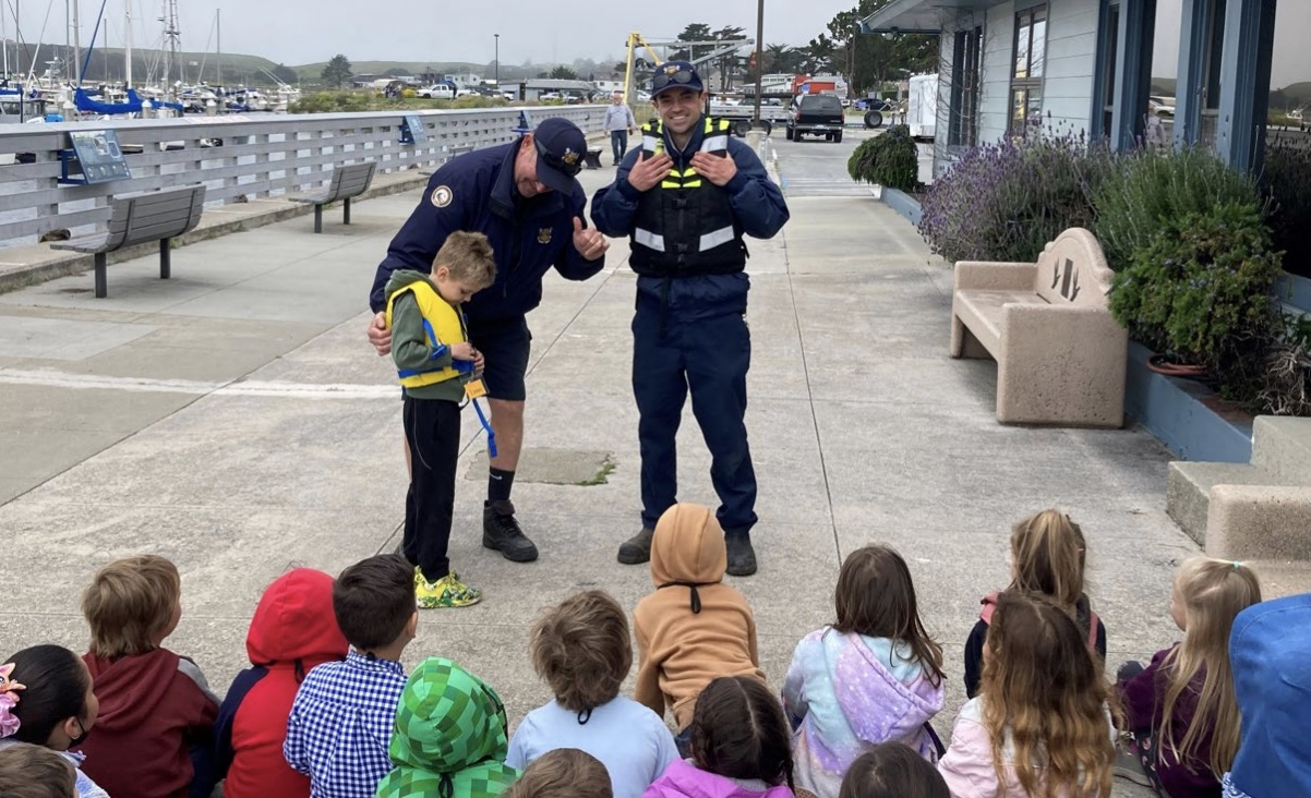
SMC Alert: San Mateo County Department of Emergency Management: TSUNAMI WATCH is in effect for Coastal San Mateo County. NO evacuation is advised at this time. Tsunami activity in the Bay Area is estimated to arrive at 12:40 AM. We will provide updated information as it becomes available.
To check if you are in a tsunami hazard zone, click here.
It’s important to remember that a tsunami watch means there is a potential for a tsunami, but it’s not a certainty. In the event of a tsunami warning, residents near the coast should evacuate to higher ground immediately.
Seismotectonics of the Kuril-Kamchatka Arc
The Kuril-Kamchatka Arc extends approximately 2,100 km from Hokkaido, Japan along the Kuril Islands and the Pacific coast of the Kamchatka Peninsula, until terminating at its intersection with the Aleutian arc south of the Commander Islands, Russia. It marks the region where the Pacific plate subducts into the mantle beneath the Okhotsk mircoplate, a proposed regional subdivision of the larger North America plate. This subduction is responsible for the generation of the Kuril Islands chain, volcanoes along the entire arc, and the deep Kuril-Kamchatka Trench. Relative to a fixed North America plate, the Pacific plate is moving northwest at a rate that increases from 79 mm/yr near the northern end of the arc to 83 mm/yr adjacent to Hokkaido. >>> READ MORE