
The California State Coastal Conservancy invites you to join us as we kick off the next phase of planning and design for the Pedro Point Headlands Coastal Trail.
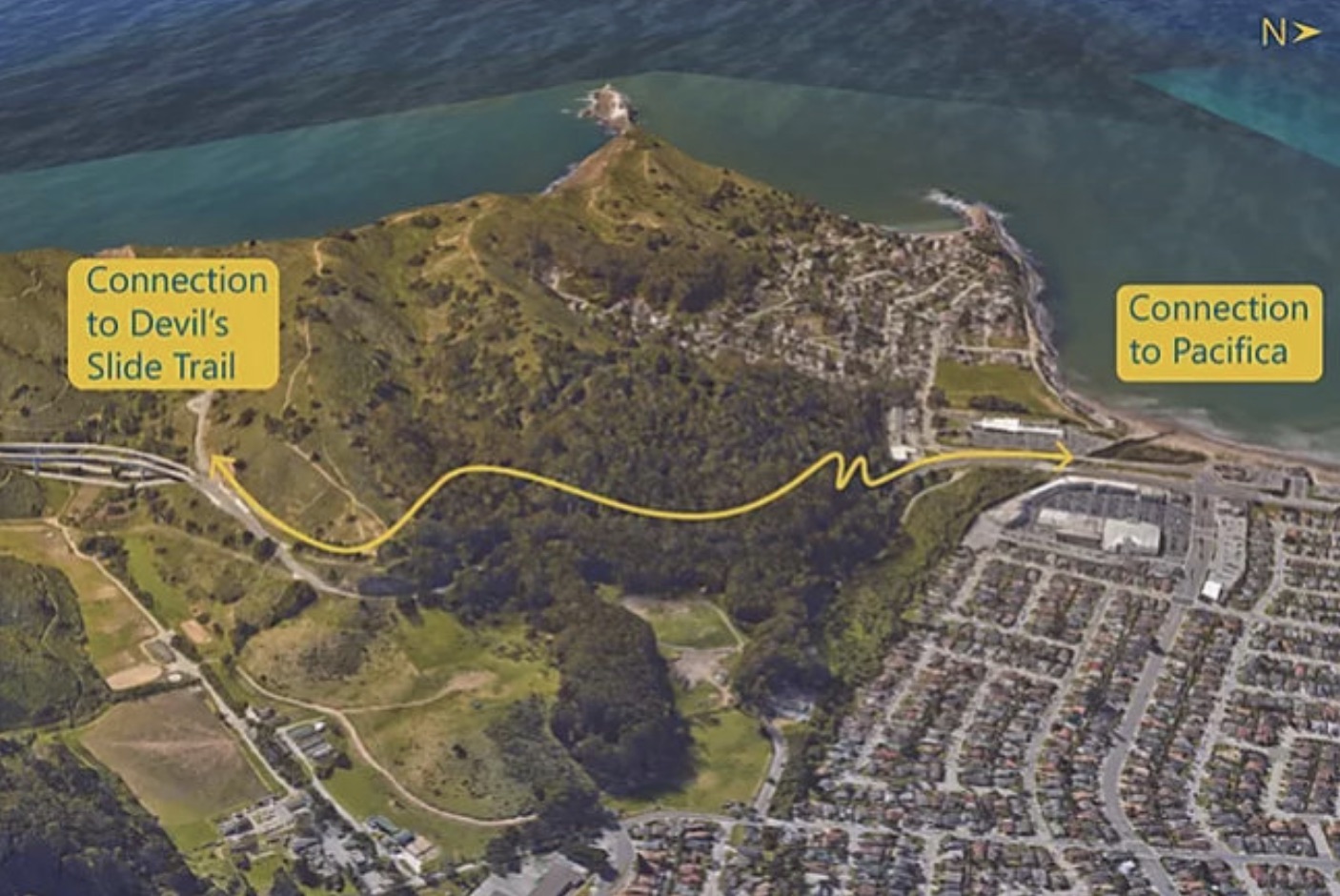
This project will advance planning and design for a future 1.3-mile multi-use trail connecting Pacifica, Pedro Point Headlands, and the Devil’s Slide Trail—helping close a longstanding gap in the California Coastal Trail. This work builds on prior planning and community engagement conducted over many years, including a 2019–2020 conceptual study that helped identify a preferred trail alignment and conceptual design.
We’re hosting three informal community meet-and-greet events to introduce the project, answer questions, and share ways to stay involved. Attend whichever location is most convenient for you. All three events will provide the same information.
Friday, July 10th
11:00 AM–12:30 PM
Half Moon Bay Library Lobby
620 Correas St., Half Moon Bay
Friday, July 10th
4:00 PM–5:30 PM
Humble Sea Brewing
5560 Pacific Coast Hwy., Pacifica
Saturday, July 11th
10:00 AM–11:30 AM
Linda Mar/Pacifica State Beach
Parking Lot A (Main Lot), just north of Taco Bell
5000 Highway 1, Pacifica
At the event, you can:
- Learn about the project and planning process
- Meet members of the project team
- Share how you currently use local trails and open space
- Sign up for project updates and future engagement opportunities
This is an introductory community awareness event. No prior knowledge of the project is needed, and all are welcome.
Learn more about the project at: https://scc.ca.gov/pedro-
Project Overview
Overview Map of Pedro Point Coastal Trail Connection
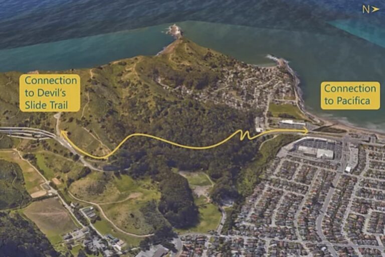
The Pedro Point Coastal Trail project is a trail planning project in coastal San Mateo County. The proposed trail would connect the City of Pacifica with the Devil’s Slide Trail and open space at Pedro Point Headlands via a multi-use pathway that provides a beautiful, easy-to-use alternative to Highway 1, completing this gap in the Coastal Trail. This map shows the approximate proposed alignment of the trail.
Current Phase Planning
The Conservancy has launched the next phase of project development for the Pedro Point Headlands Coastal Trail. This phase of planning work (expected to carry through the end of 2027) will comprise community and Tribal engagement, technical studies, preparation of permit applications, and completion of 60% project designs for the Pedro Point Headlands segment of the California Coastal Trail. Members of the public are invited to participate in the planning process.
To receive project updates and information about engagement opportunities, please sign up for our mailing list here.
Project History
A Feasibility Study/Conceptual Design was conducted by the Coastal Conservancy from 2019-2020 to look at route options for the Pedro Point Coastal Trail. The report is available by request by emailing erin.gravley (at) scc.ca.gov (as the Conservancy works to remediate its website contents to make materials accessible to Californias of all abilites).
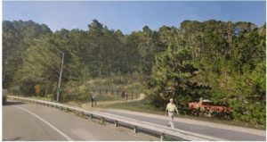
Simulation of trail as seen from Highway 1 in Pacifica
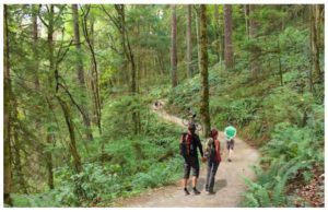
Simulation of trail through open space at Pedro Point Headlands
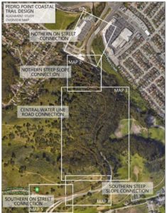
Segments of trail in the Feasibility Study/Conceptual Design
The next steps needed to turn this trail from a plan into reality include developing detailed design and engineering plans; conducting further community engagement; developing environmental documentation; acquiring permits; fundraising; and partnering with a park agency to manage to the trail.
To receive project updates, please sign up for our mailing list here.