|
Getting your Trinity Audio player ready...
|
QUESTIONS for SAN MATEO COUNTY PUBLIC WORKS.
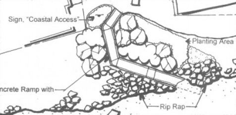
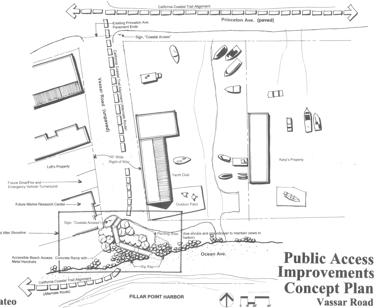
This story started in 2002 with plans for a concrete dog-legged ramp.
In 2018, the project was given to San Mateo County Public Works Department and using a “routine maintenance” permit are now putting in a dirt ramp.
SMCo Public Works Director, Jim Porter’s email: jporter@smcgov.org
SMCo Public Works Admin: (650) 363-4100
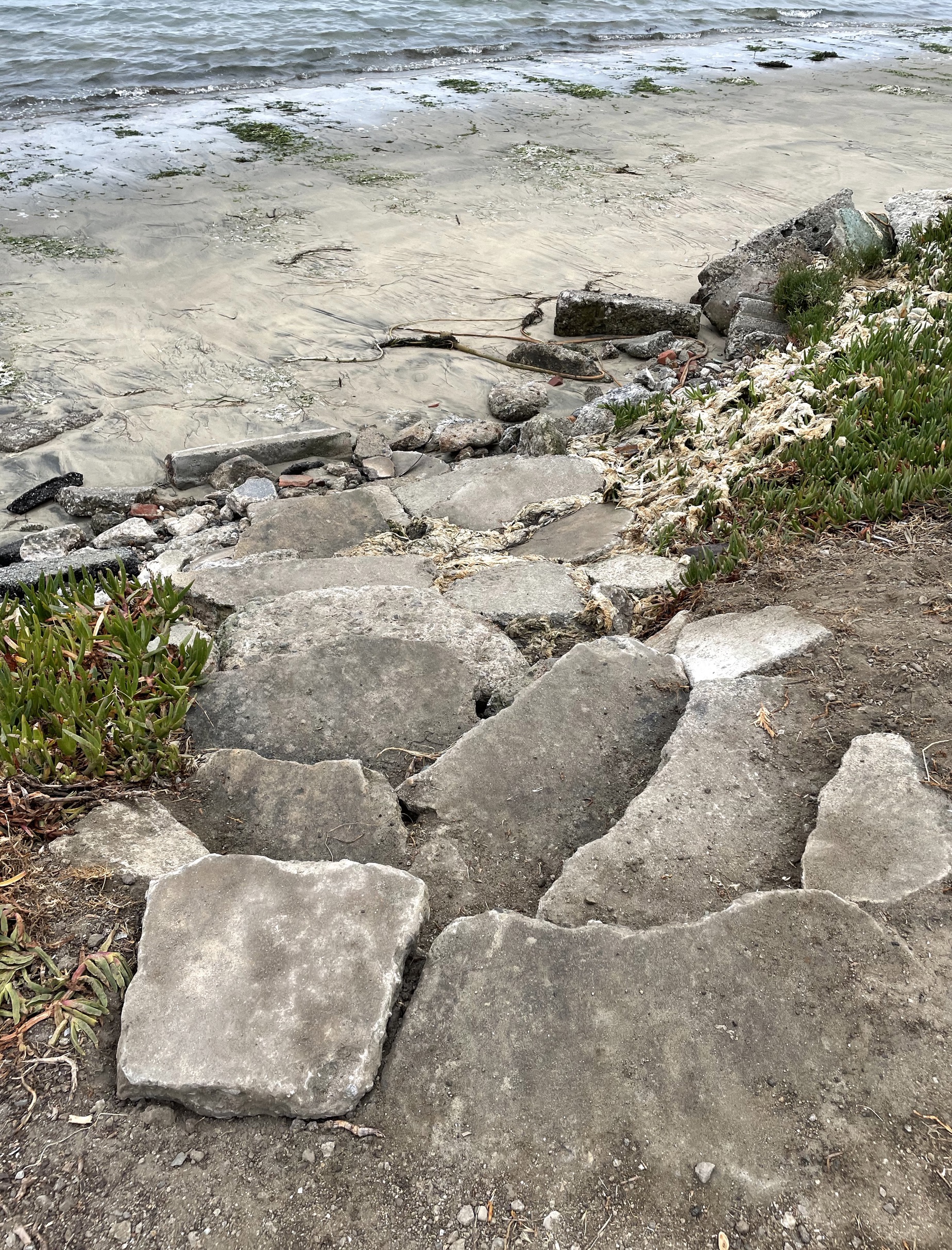
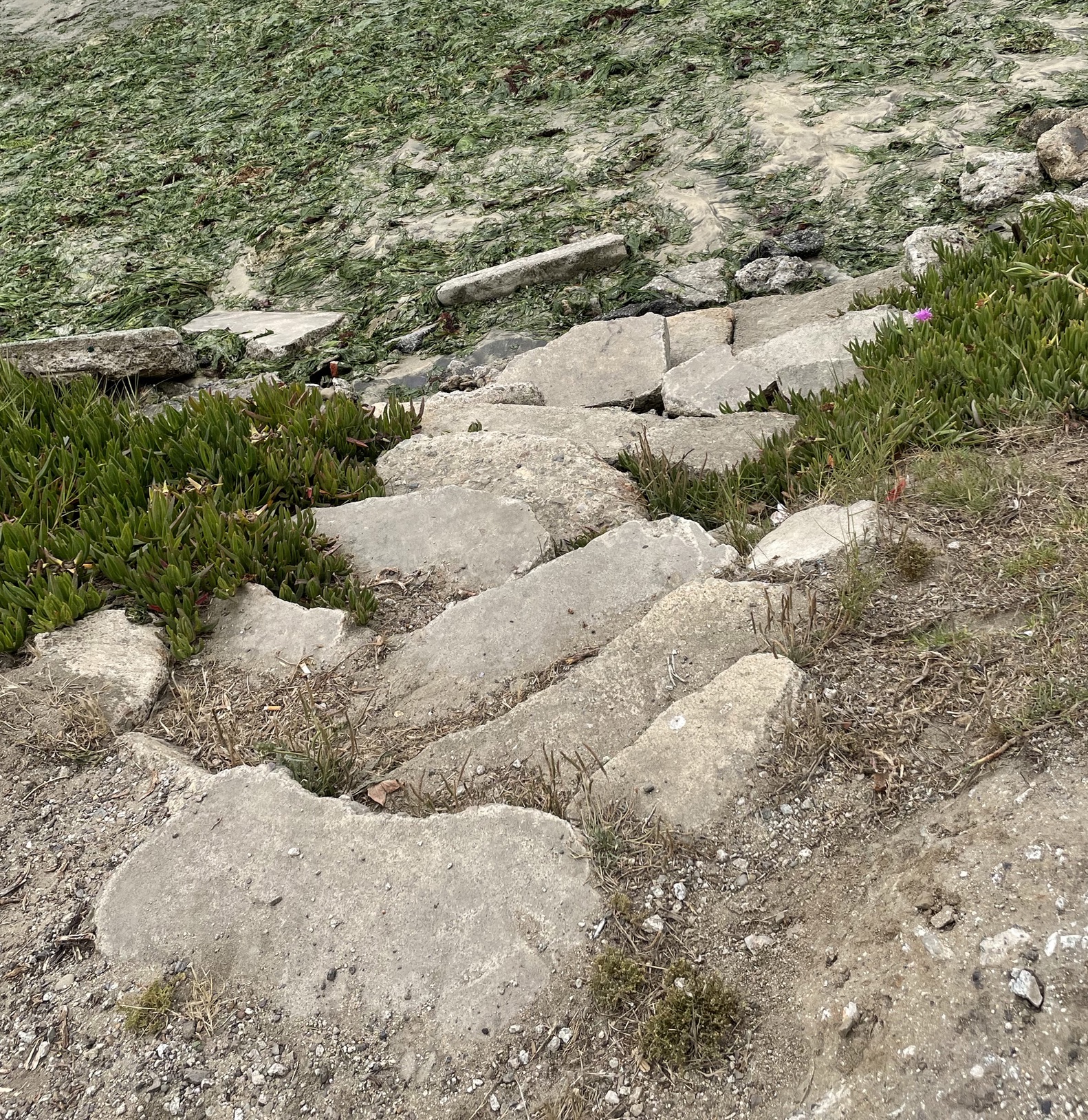
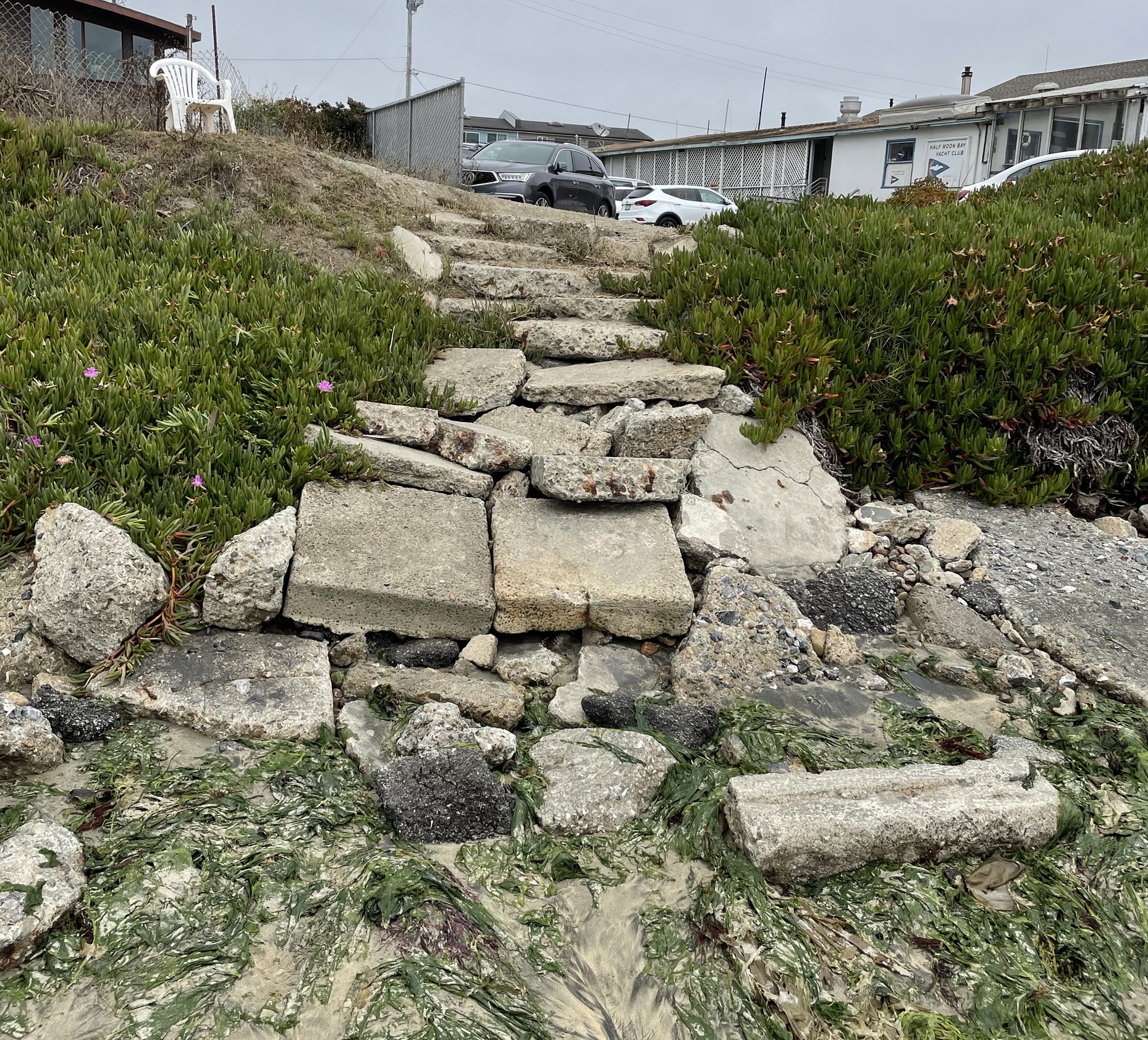
September 2021
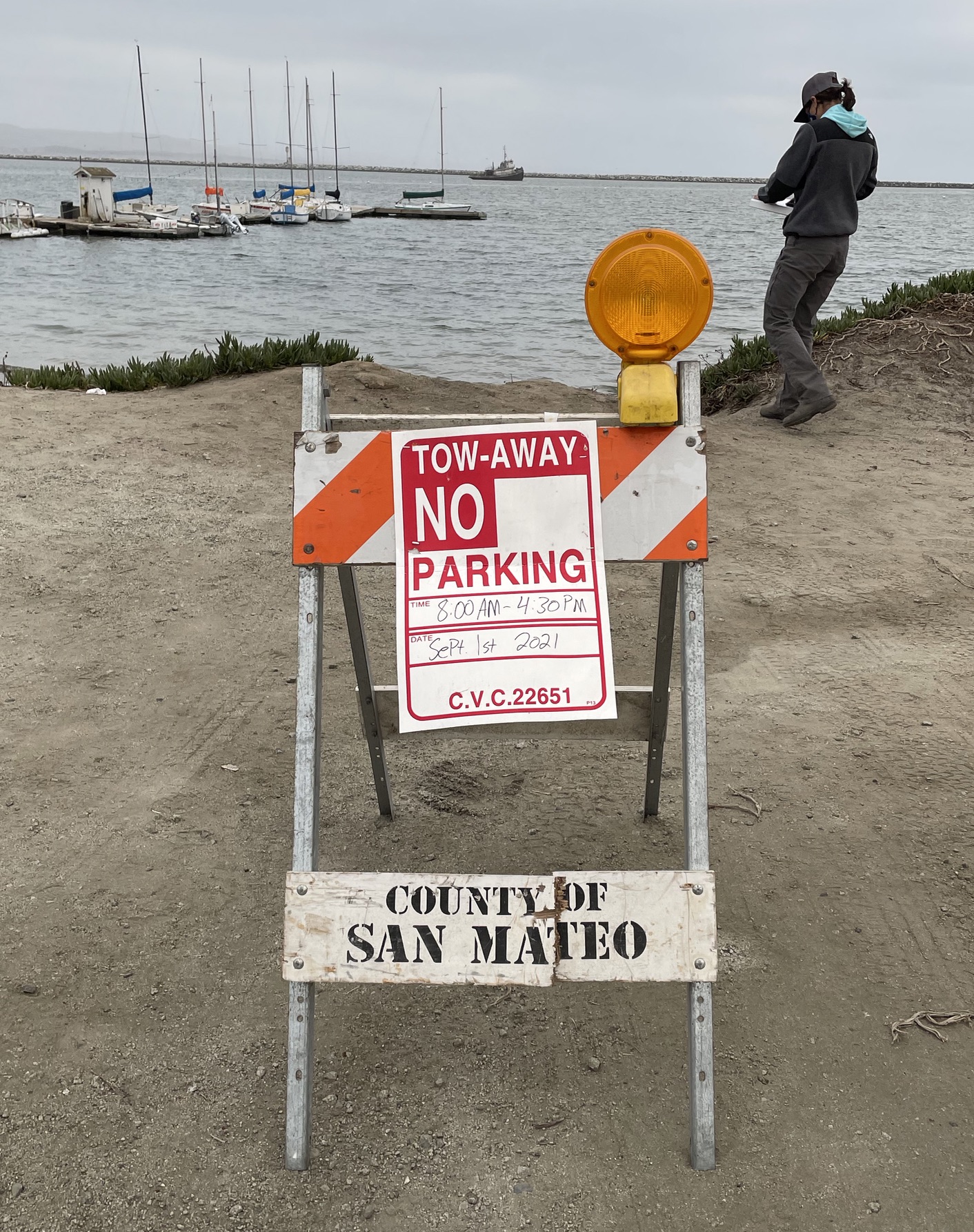
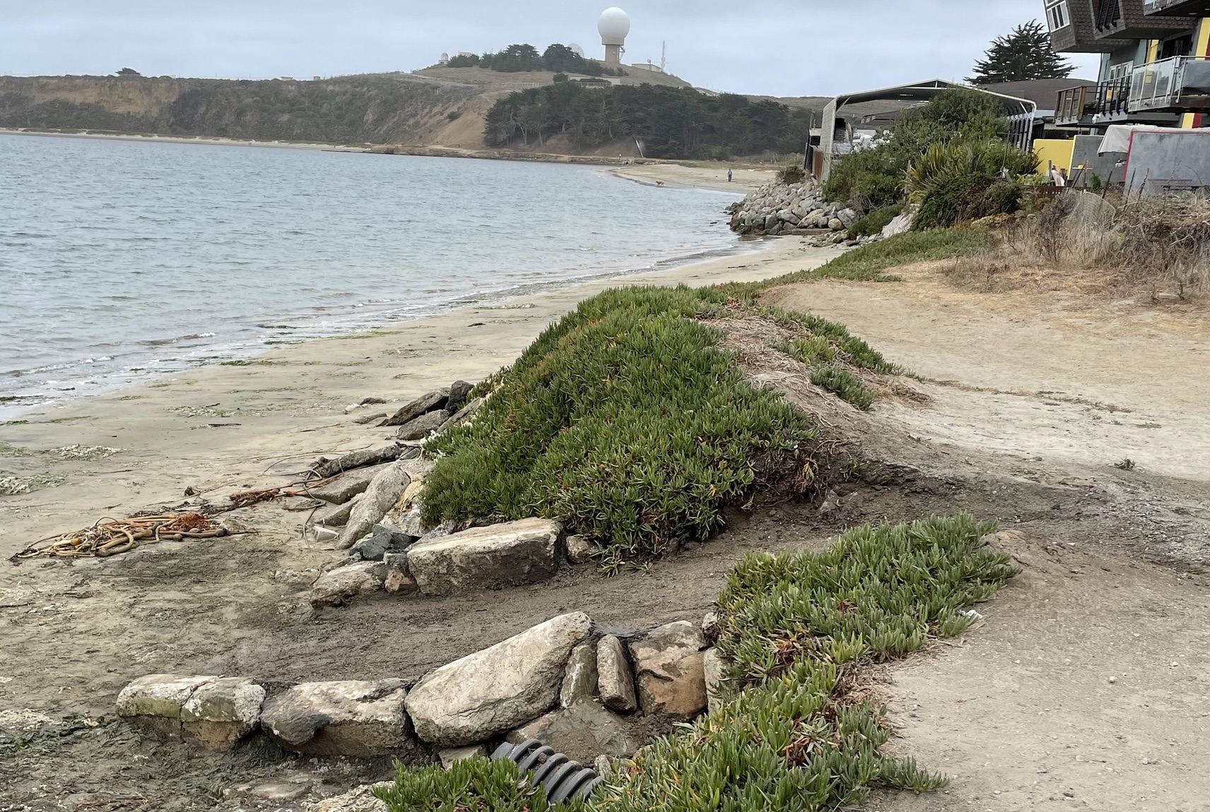
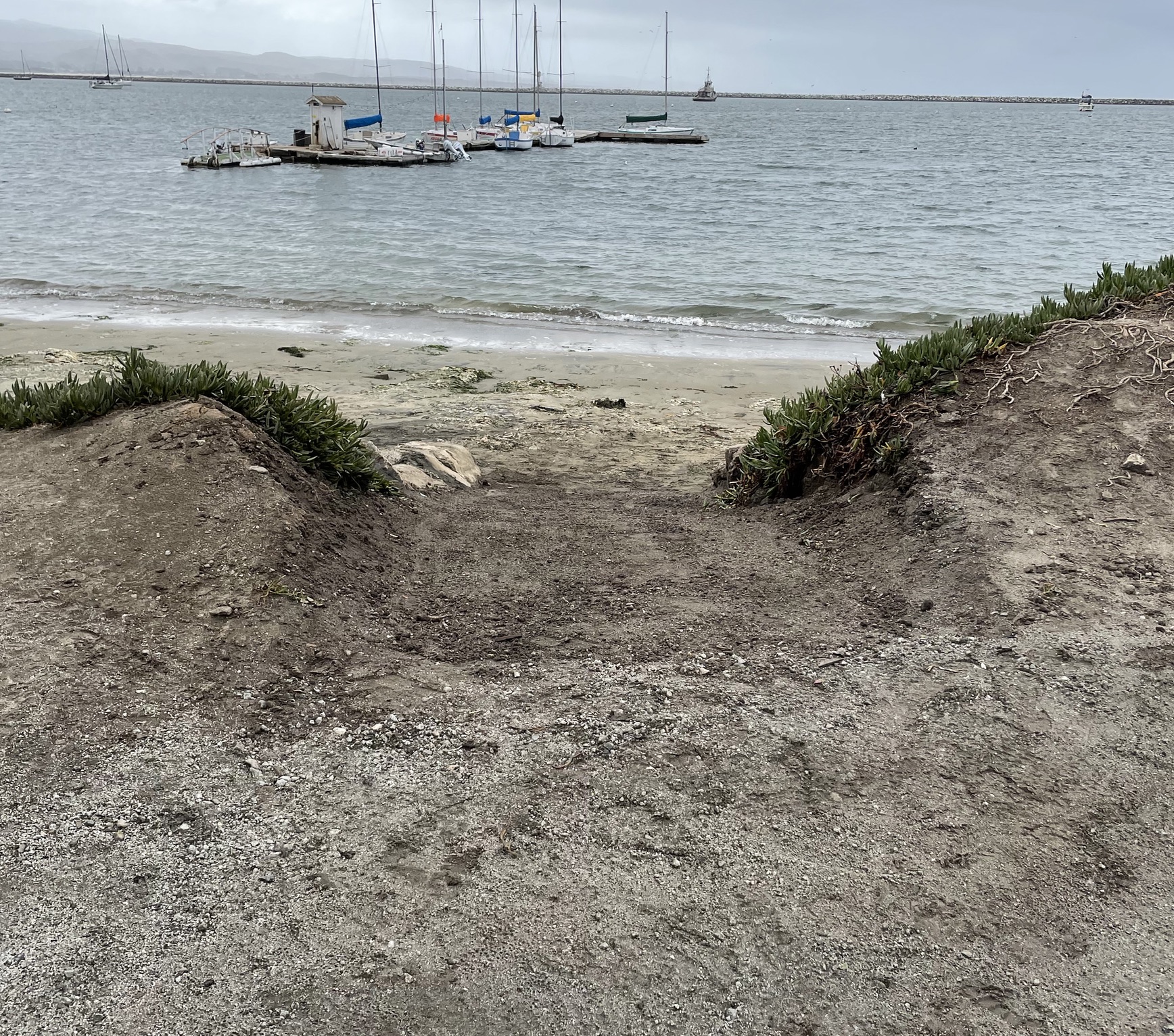
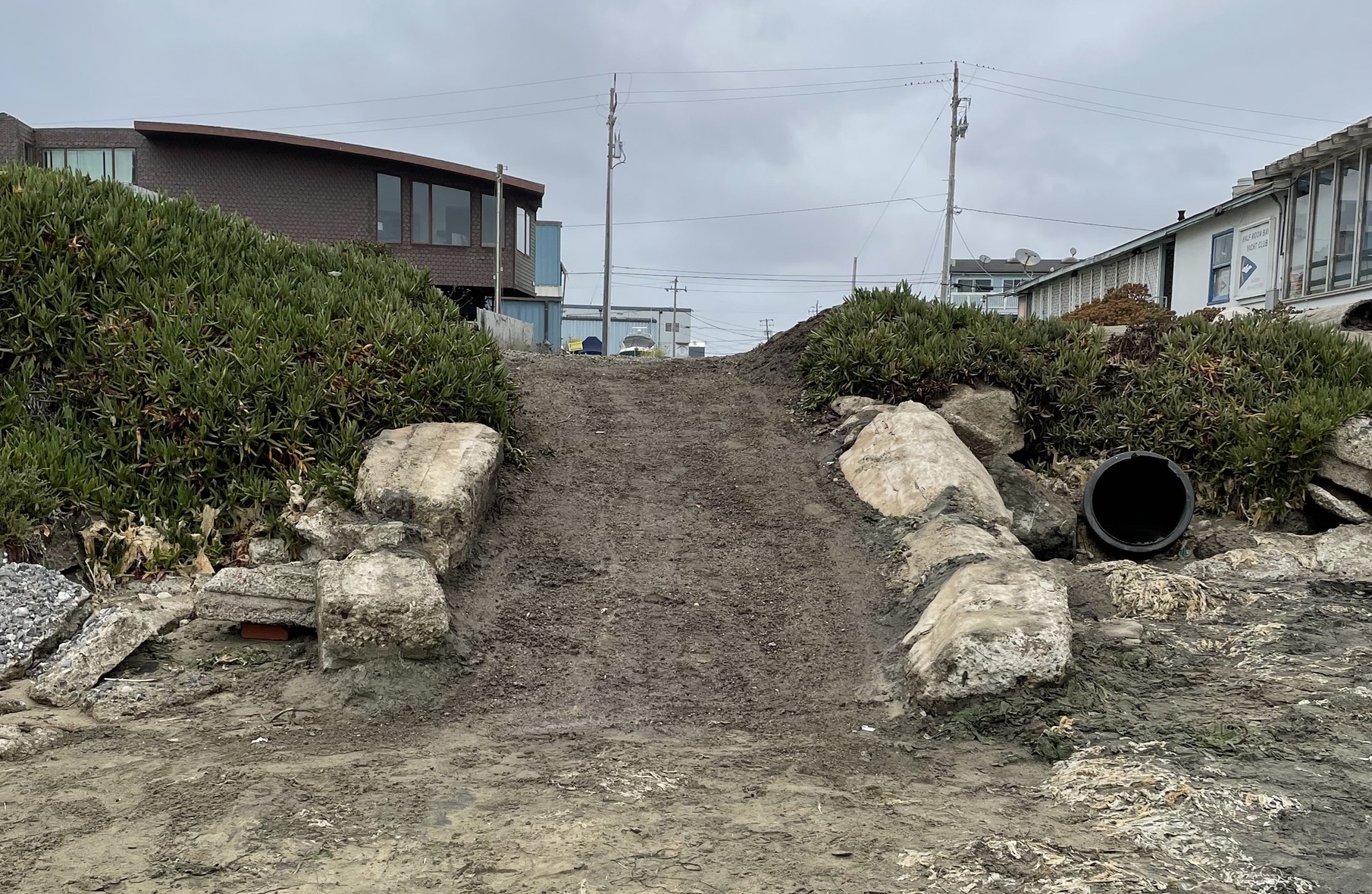
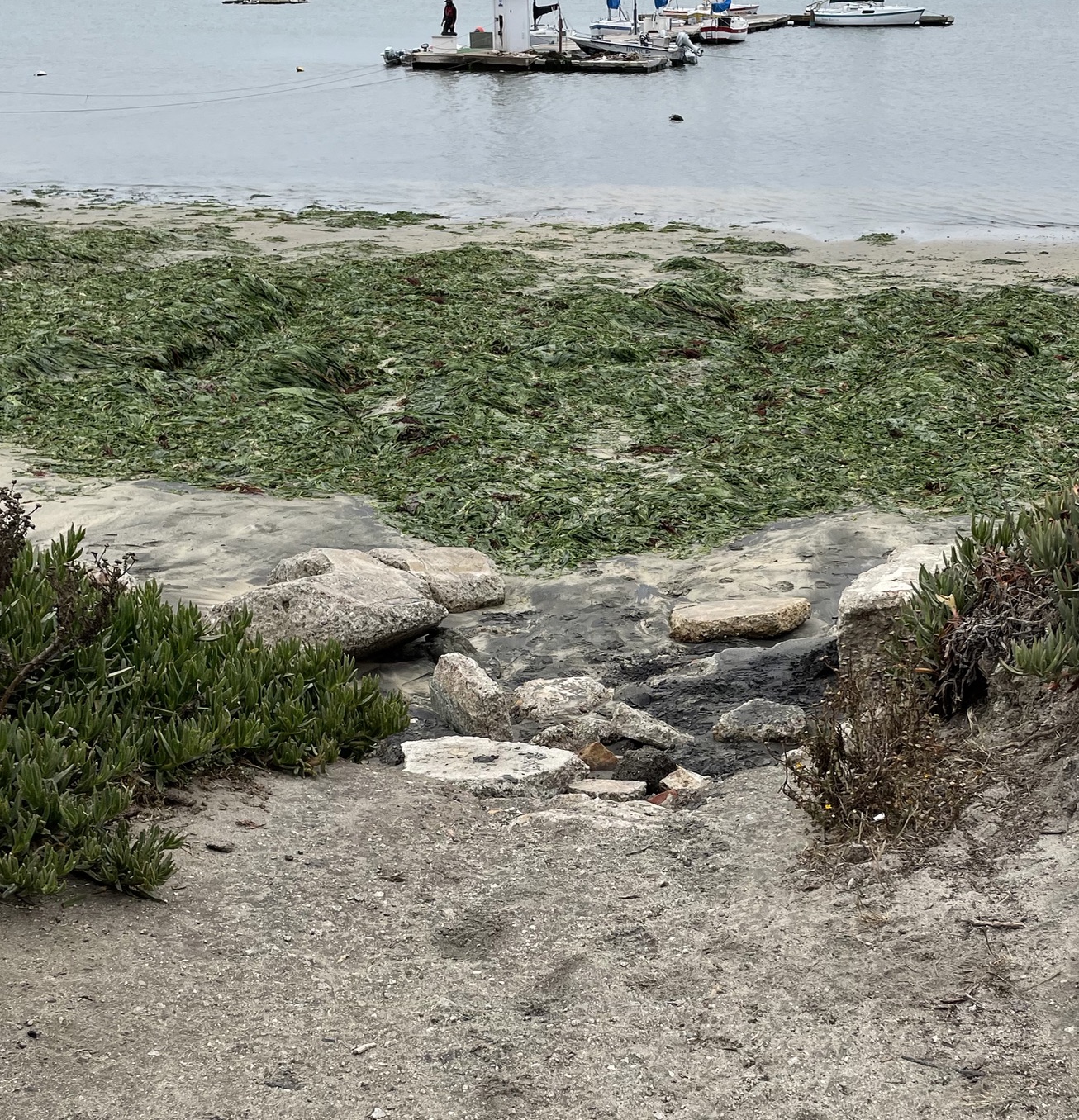
July 2022
2018 Public Works Dirt Ramp Plans
[pdf-embedder url=”https://www.coastsidebuzz.com/wp-content/uploads/2021/04/2019-02-03-PLN2019-00015-Vassar-Columbia-1.pdf” title=”2019-02-03-PLN2019-00015-Vassar-Columbia (1)”]
Background
At the end of Vassar St., where the Half Moon Bay Yacht Club, Mavericks Paddle Sports and the Coastside Beach Club gives access people to get to the water, San Mateo County Public Works started planning a concrete ramp in 2002.
Twenty years later, and with the current understanding of sea level rise, they are now planning a dirt ramp?
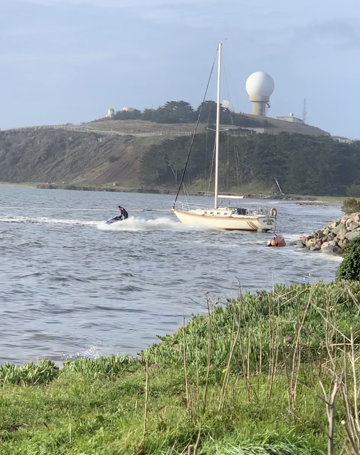
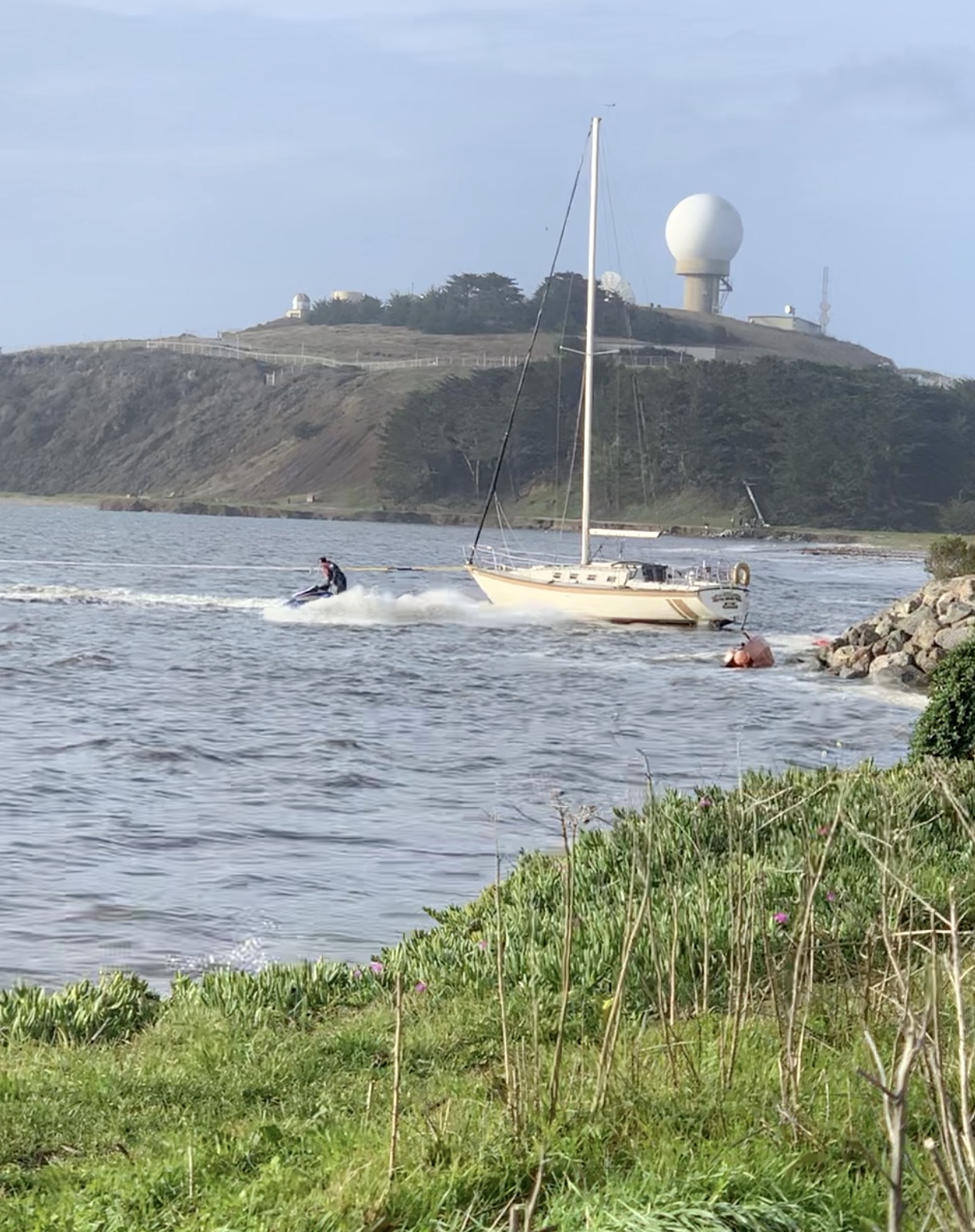
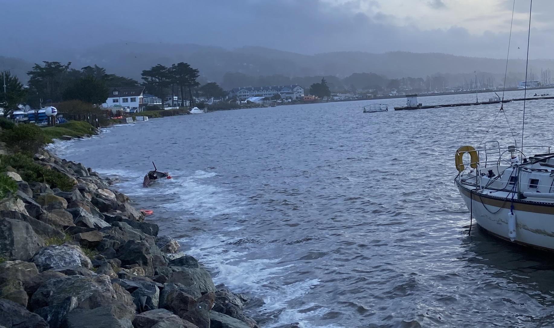
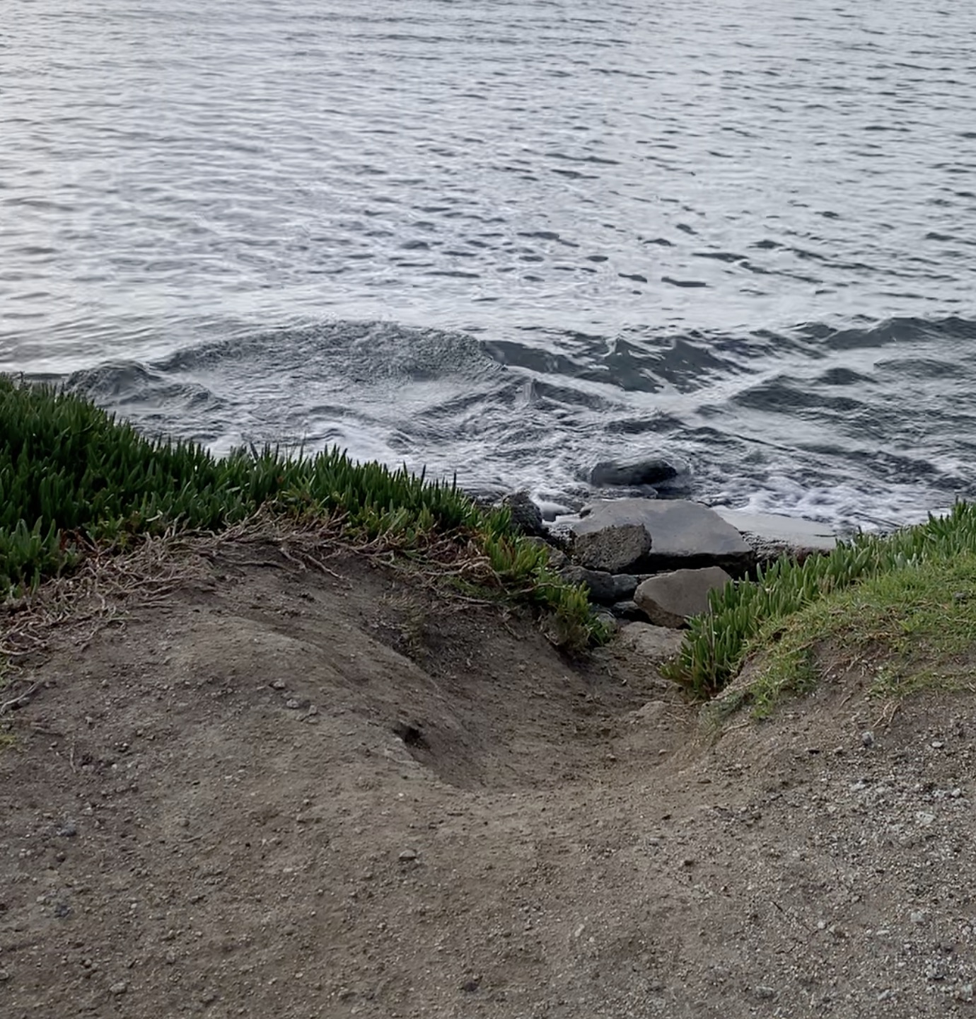
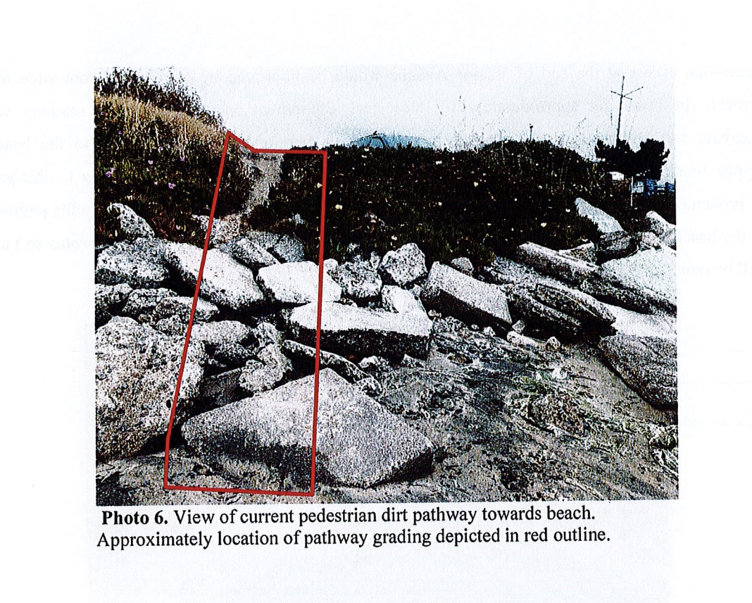
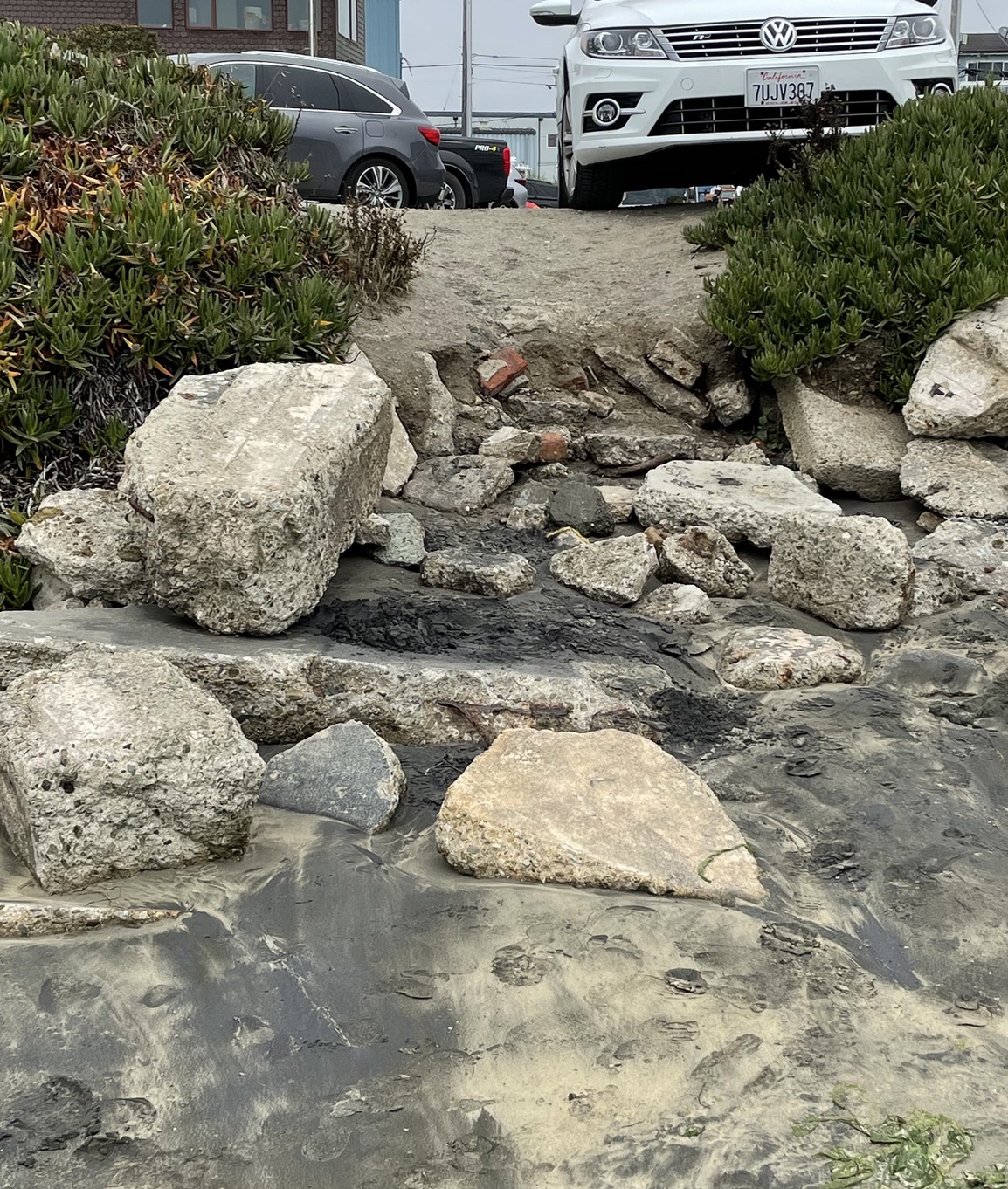
Look at the pictures below; that ramp will be washed away very quickly and leave a cliff, making it less accessible that it is now. There may be illegal riprap there, but it has worked to save Vassar access for decades.
Note, that 50 feet away there is an asphalt ramp for which the Yacht Club has provided public access since 1976. A sign at the end of Vassar pointing towards the HMBYC ramp should be sufficient for access.
The planned Vassar ramp will not be ADA compliant and its slope is nothing short of dangerous.
Vassar St. Beach Access Ramp 2002 Plans
[pdf-embedder url=”https://www.coastsidebuzz.com/wp-content/uploads/2021/04/2002-10-21BeachAccessVassar.pdf” title=”2002-10-21+BeachAccessVassar”]
How Did This Happen? Well, it started in 2001.
Lisa Ketcham, then on the Midcoast Community Council (MCC), and who lives near the harbor, wanted better access in general. Plans were drawn up in 2002. In 2013, the Plan Princeton process began, and has yet to be completed.
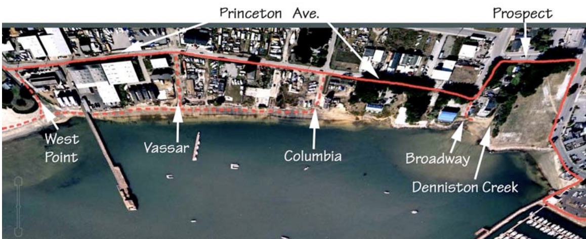
Beach access was part of the plan at Broadway, Columbia, Vassar and West Point.
The San Mateo County Harbor District as Pillar Point Harbor had to go through a full permitting process, including approval from the California Coastal Commission, to rebuild the Mavericks/West Point Trail.
They started in 2019 and just got approval for an innovative “Living Shoreline”.
Check it out.
CCC Approves “Mavericks Trail” at Pillar Point Harbor West Trail Living Shoreline Project
More on the West Point Trail Rehab
Jeff Clark noticed that there were County people at the end of Vassar yesterday morning (not April Fools, but on April 1st, 2021). The young lady he spoke to was so new that she did not a business card, nor did she even know about the Romeo Pier…and she is “in charge” of this project?
She said it was a dirt ramp, although the 2002 plans call out for concrete and riprap.
There are no Vassar St. plans on the San Mateo County Public Works Project webpage.
Text of 2002 Vassar Plans
Summary (with comments)
Site Description:
The lateral easement extends inland 25 feet from the mean high tide line. As described, the easement falls within the Ocean Boulevard right-of-way and does not overlap the subject property. A site more suitable for public access was identified.
(OWNERSHIP?) The site, Vassar Road, is an existing public right-of-way that allows coastal access from Princeton Avenue to the shore.
Vassar is an unmaintained, dirt road in the Princeton area of Moss Beach. There is beach access to Pillar Point Harbor at the terminus of Vassar Road. The beach extends from the site up to Pillar Point, the County-owned Pillar Point marsh which is part of the Fitzgerald Marine Reserve, and on to the southern entry of the Fitzgerald Marine Reserve.
Ownership/Easement:
(OWNERSHIP?) The County of San Mateo owns a fifty foot right-of-way along Vassar Road. True?
Description of Proposed Improvements:
A ramp is proposed from the southern terminus of Vassar Road to the beach. Low shrubs and ground cover surround the ramp and new rip rap will stabilize the access. Two “Coastal Access” signs are also proposed. Directional signs to the access way are proposed.
Opportunities and Constraints:
Vassar Road right-of-way is County owned, however it is not maintained and there are no plans for the maintenance of Vassar Road. During high tide, the beach is underwater. A San Mateo County Public Works Ordinance prohibits parking bays in the mid-coast area, thus precluding coastal trail access parking.
Although Vassar Road provides a good opportunity for accessible beach access, the Harbor District’s plans for shoreline stabilization cloud the picture. The Harbor District has completed a shoreline protection feasibility study. Findings from the study conclude that these public access improvements could be incorporated into the revetment structure recommended by the shoreline protection feasibility study. (OLD, NOW WRONG) The Harbor District intends to replace the Romeo Pier. Siting of the new pier at the end of Vassar Road could preclude beach access at this location.
The California Coastal Commission and the California Coastal Conservancy will be working with the property owners along the Princeton waterfront to (OLD, NOW WRONG) develop shoreline improvements such as a seawall and development of the Coastal Trail, independent of dredging.
The Princeton Citizen’s Advisory Committee (PCAC) supports street improvements in the Princeton area. Refer to the letter dated (OLD) September 10, 2002 in the “Correspondence” section of this document.
Implementation:
The County may wish to implement shoreline access at the terminus of Vassar recognizing that these improvements would be interim in nature and would require reconstruction when the shoreline stabilization improvements are implemented.
(WRONG) It is probable that the Harbor District’s plans for shoreline stabilization and the replacement of the Romeo Pier will not be implemented for at least 10 years.
The California Coastal Commission and the California Coastal Conservancy may initiate development of these shoreline stabilization improvements. The County may wish to pursue interim shoreline access with the understanding that these improvements will require reconstruction subsequent to the shoreline stabilization and pier construction.
(OWNERSHIP) The County would need to make a change to its current policy in order to provide maintenance for any improvements that are developed in the right-of-way.
(ANSWER) The County may also decide to hold off on public access improvements until these shoreline stabilization improvements are completed.
County Planning must issue a Coastal Development Permit.


