|
Getting your Trinity Audio player ready...
|
ARTICLE/ LINK. I spoke with SFPUC, Betsy Rhodes, and Natural Resources and Lands Management Division Manager, Tim Ramirez, Friday afternoon, 8/16/19. With only 14 years experience, Tim can’t say why North Peak mountain peak access was allowed over the years. Possibly, just benign neglect. He is actually trying to track back the entire history (he wrote a book on Hetch Hetchy), so stay tuned.
~ By Michelle Dragony, Approved by Betsy Rhodes, SFPUC, Communications Manager, External Affairs.
Basic history. SFPUC came to own the land in 1930 and, except for periodic, rickety fencing people have had access to the top for some stunning views. In 2001, the Peninsula Watershed Management Plan was adopted and the repair, protection and maintenance of fencing became a priority for SFPUC. They are responsible for 22,000 acres in San Mateo County. North Peak’s remoteness likely allowed access to keep happening over the years.
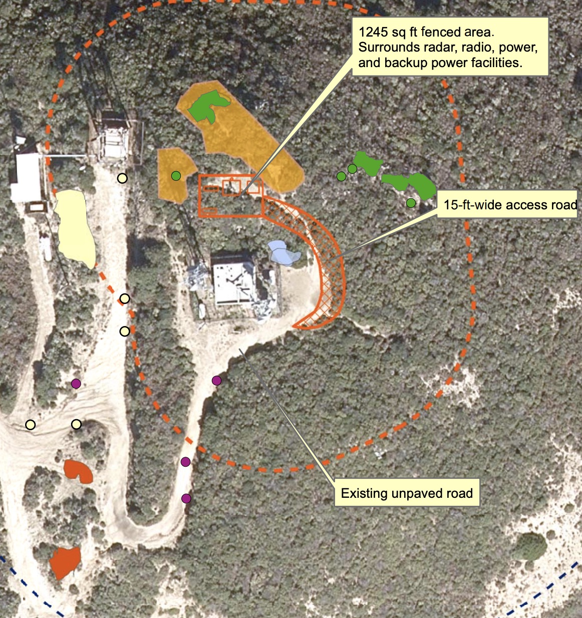
Then, this year, SFPUC wanted to put a weather station right in front of the existing equipment buildings, where we used to stand, huffing and puffing, for a view. The weather station will help collect data to plan for droughts and storm emergencies. Well, that brought a lot of SFPUC eyes to the lack of fencing. So, per their watershed plan, up went the fence.
SFPUC Commission met last Tuesday (8/13/19), in SF, to approve the Environmental document (MND-mitigated negative declaration) for the weather station. There were a couple Coastsiders there (like Open the SF Watershed, Sean Handel) and Tim is in the process of scheduling a follow up meeting with them.
If you have not seen this video of the SF Watershed, it will blow your mind. Miles and miles of trails already exist, but are fallow of feet or pedals.
Tim’s intention is to expand the outreach, over time about this issue as possible alternatives develop. There are other possible trail connections on adjacent land being considered by others, such as GGNRA. The more locals give Tim feedback, the better he can help us.
The Watershed Management Plan is a long and living document. Tim has mentioned amending the plan to include the Whiting Ridge addition or other additions of trails on or near the Peak that were not contemplated in the original Watershed Management Plan.
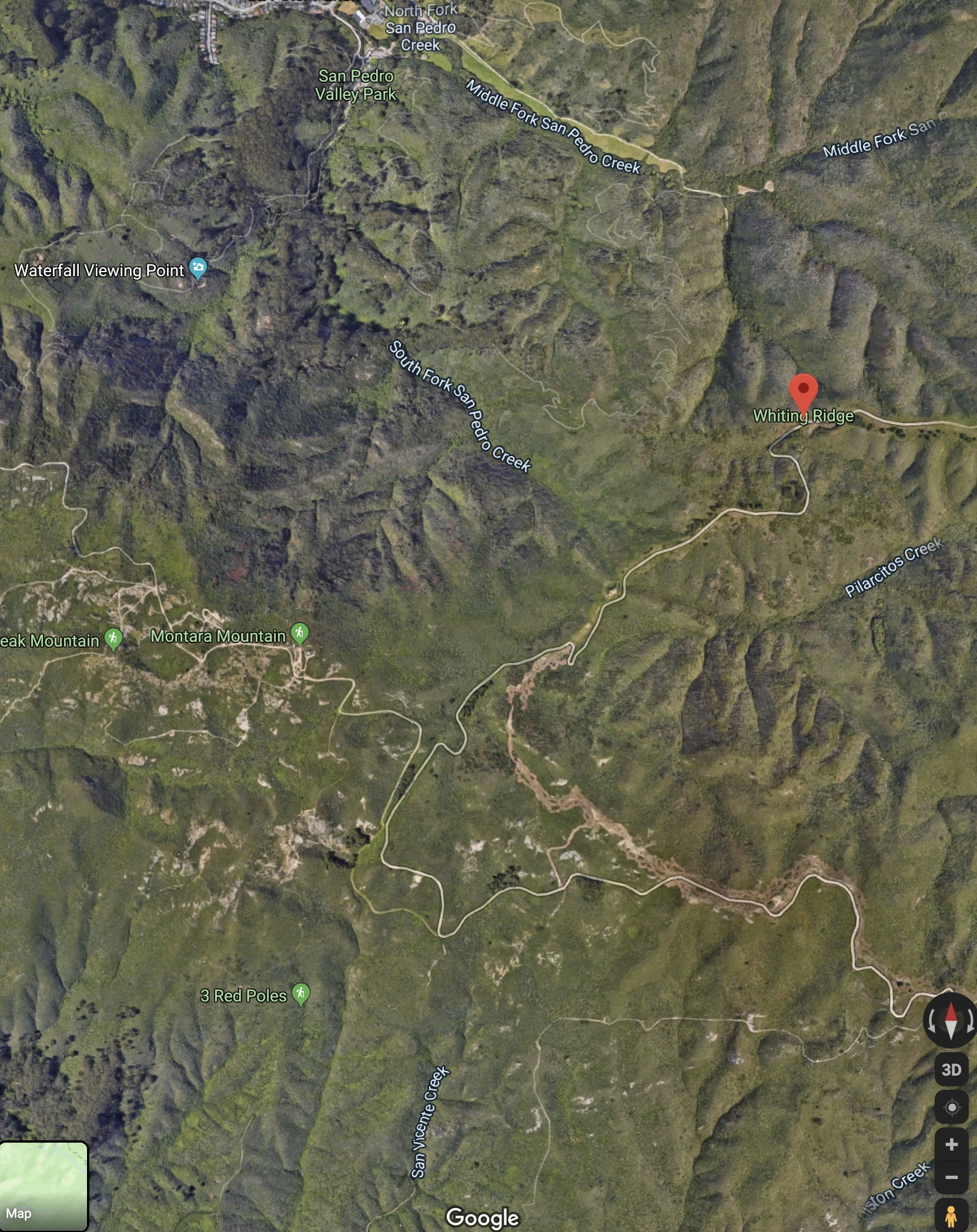
Zoom In of Whiting Ridge, Relative to Montara Mountain
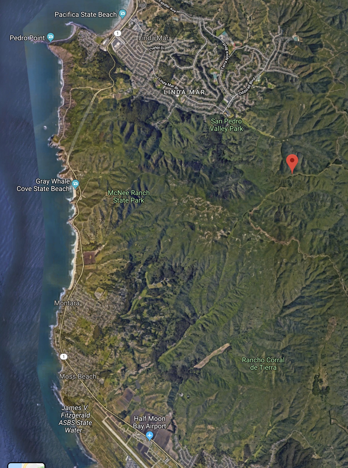
Zoom Out of Whiting Ridge, Relative to Montara Mountain
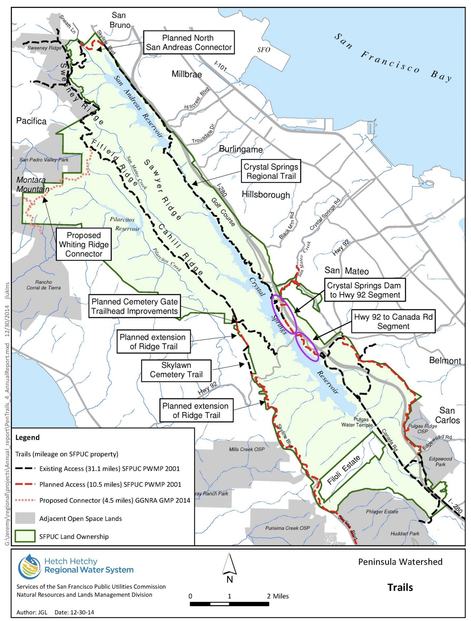
Check Out the Whiting Ridge Connector….What do you think?
SFPUC wants to know……
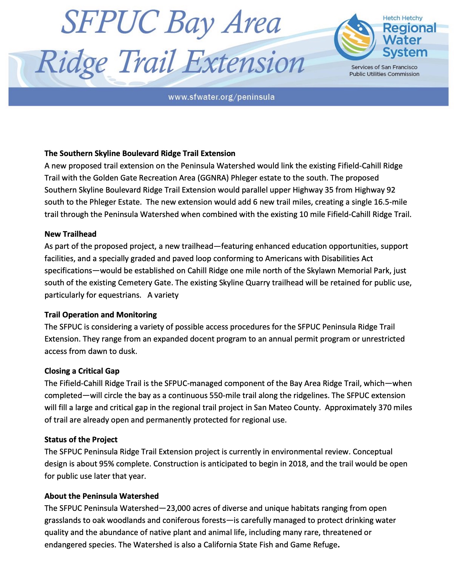
Here is the rest of the SFPUC Bay Area Ridge Trail Extension
If you would like to be on an email list to receive updates,
please contact Betsy Rhodes at info@sfwater.org.
Look what Tim Ramirez Wrote!
History of the Municipal Water Department & Hetch Hetchy System
Previous Posts on North Gate Montara Story…..
How Could SFPUC Close Montara Mountain’s North Gate View???
ARTICLE/ LINKS. How could they consider the loss of access to the top of the mountain “less than significant”?
Contacts:
- National Park Service (NPS): Page 171, Larry Miranda, Lead Environmental Specialist 415-561-4968. Laura Joss, is the General Superintendent for NPS SF, and the Environmental Review Officer for this project.
- SF Planning (lead agency): Julie Moore, 415-575-8733, staff contact, julie.moore@sfgov.org. Lisa Gibson is the environmental review officer for SF Planning.
- SFPUC (project sponsor): Sue Chau, 415-554-3238, schau@sfwater.org. Betsy Lauppe Rhodes is Public Information Officer ~ 415-554-3240,BLauppe@sfwater.org
See Section E, Land Use and Land Use Planning.
This quote is verbatim from the report.
Effect on Scenic Vista ~ LESS THAN SIGNIFICANT?????
This section does not even include a picture of the “scenic vista”.
LINK to Original Coastside Buzz Story 7/31/19:
When they said they were closing the view due to butterfly habitat.


