|
Getting your Trinity Audio player ready...
|
NEWSLETTER. From the Midpeninsula Regional Open Space District (MROSD) November 2021 Enews.
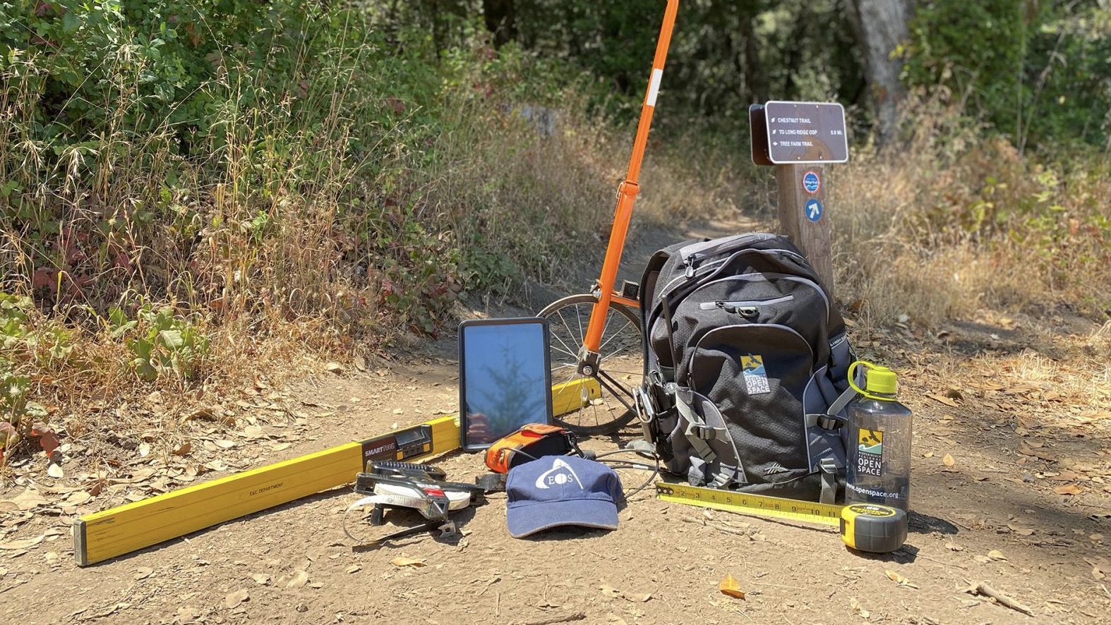
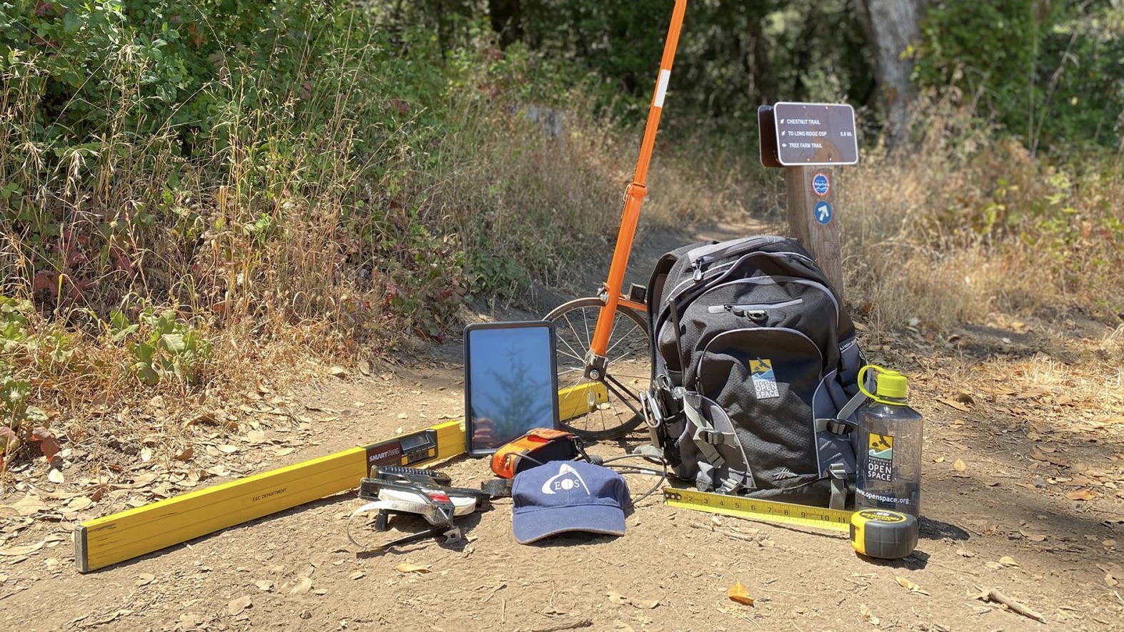
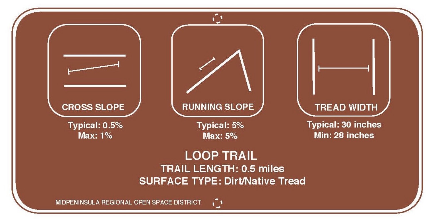
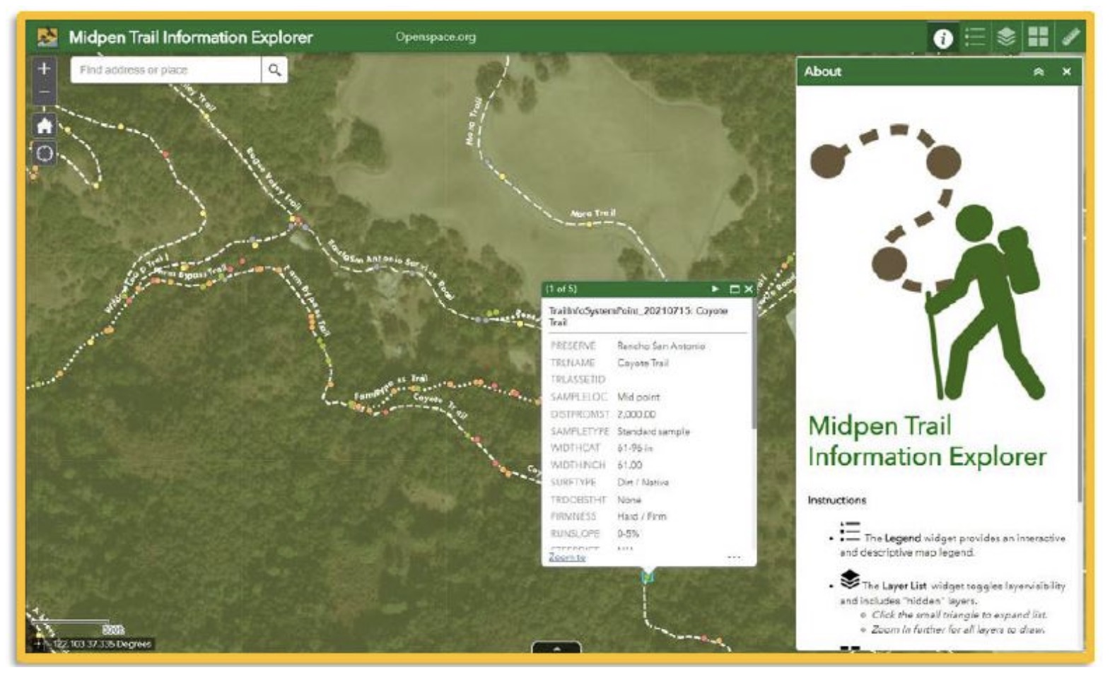
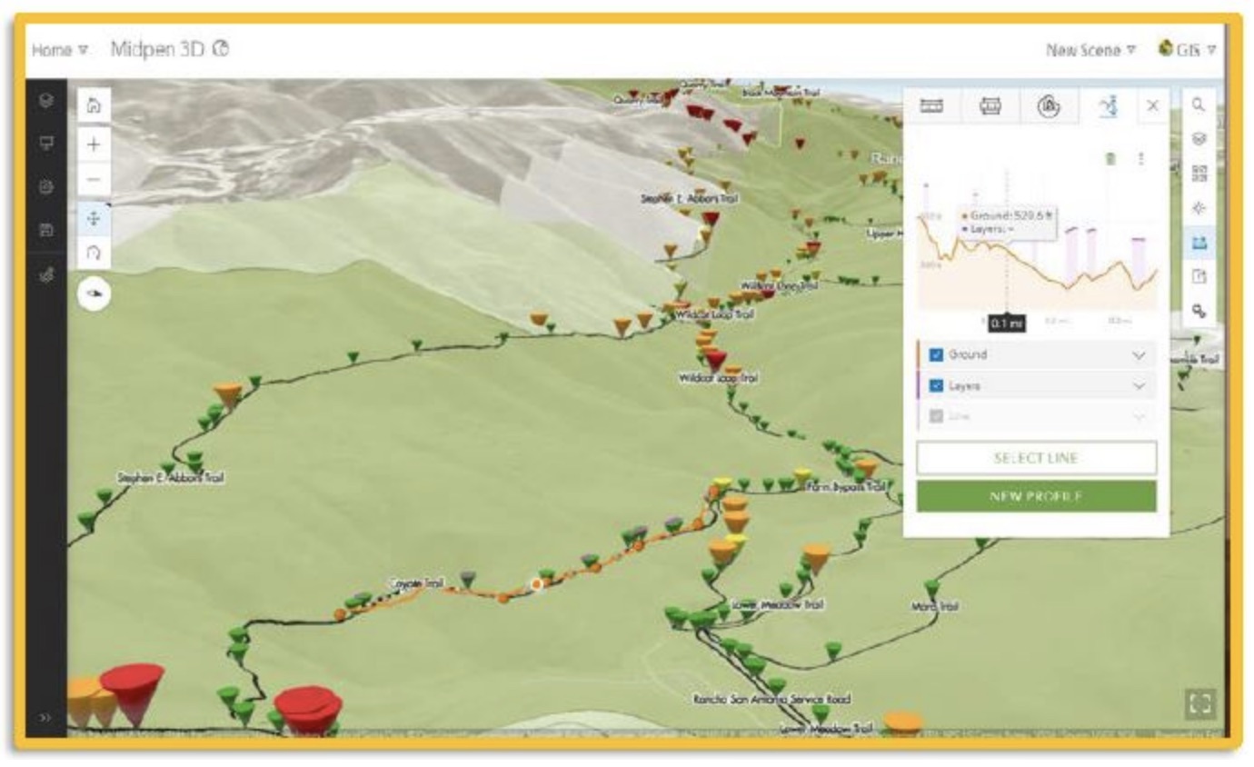
This summer, we began a pilot project to assist visitors with wayfinding and trail route decisions. Midpen staff hiked approximately 50 miles of trail across Rancho San Antonio, Skyline Ridge, and Monte Bello preserves while measuring the physical terrain. The quantitative data collected will help us characterize the physical attributes of our trails, from steepness to tread width and obstacles. Ultimately, we hope to incorporate this information into trail descriptions, signage and maps.
As part of this work, we are conducting a brief online survey to obtain information on how visitors currently select trails for their recreational and accessibility needs and determine if additional resources would be helpful. Your responses will help us develop ideas to make our content more user-friendly.
Project Goals
The quantitative data collected will help us characterize the physical attributes of our trails, from steepness to tread width and obstacles. Ultimately, we hope to incorporate this information into trail descriptions, signage, and maps.
Although this pilot project will take a few years to implement, each mile hiked is a step towards providing visitors with the information they need to make informed wayfinding and trail route decisions.
Trail Survey
As part of this work, we are conducting a brief online survey to obtain information on how visitors currently select trails for their recreational and accessibility needs and determine if additional resources would be helpful. Your responses will help us develop ideas to make our content more user-friendly. Thank you for your time and input!


