|
Getting your Trinity Audio player ready...
|
VIDEO. From the Midcoast Community Council (MCC) meeting on Wednesday, July 12th, 2023 at 7:00pm, as a hybrid meeting.
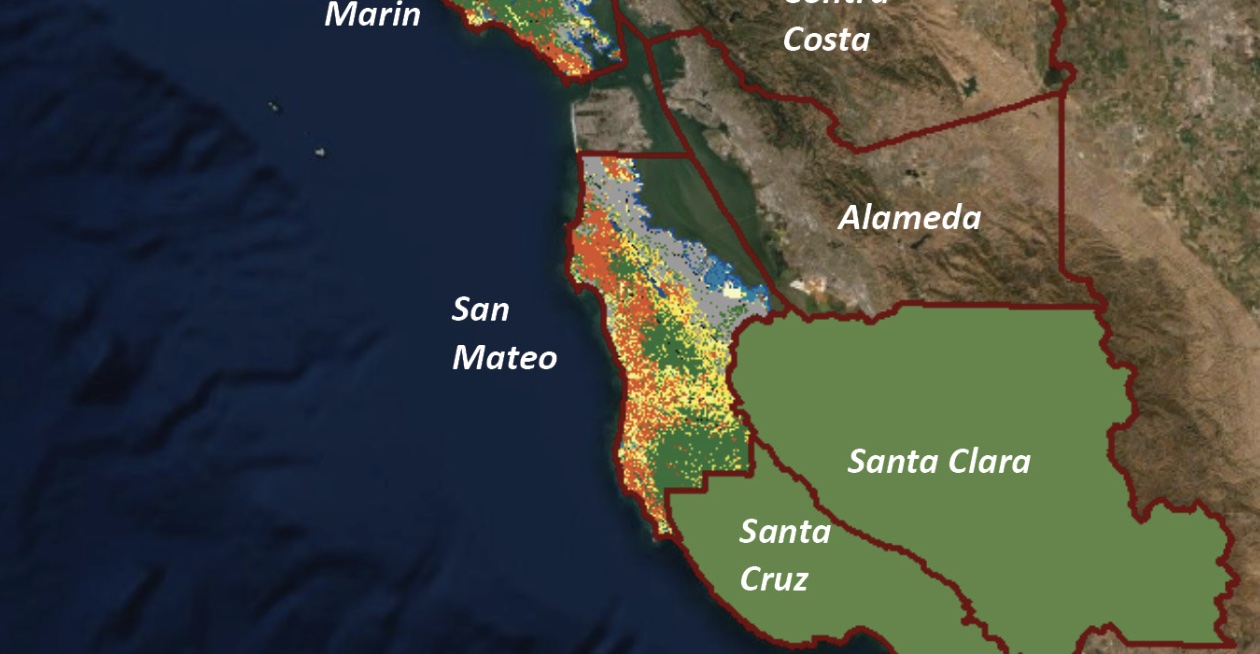
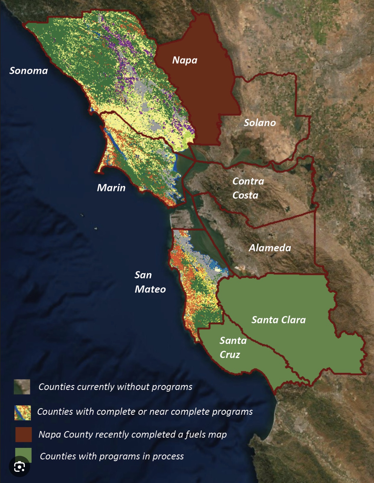
San Mateo County Resource Conservation District (RCD), Timothy Federal, reports.
References:
California Natural Resource Agency
USGS (United States Geological Survey)
Vegetation mapping
Remote sensing analysts make maps by exploiting the relationships between variation on the ground and variation in the data being used to create the map (e.g., imagery, slope, aspect, elevation). Common data elements relied upon include tone/color, shape, size, pattern, shadow, texture, location, context, date, and height.
Until the advent of lidar, fine-scale measures of vegetation height were unavailable, or very expensively obtained from stereo imagery. Lidar data provides not only fine-scale measures of vegetation height, but also measures of crown shape, crown density, and canopy base height. Additionally, lidar data can provide high-resolution riparian corridor delineation, and measures of slope, slope position, aspect and elevation—all critical variables that affect vegetation species distribution, and are, therefore, useful in creating a vegetation map.
As a result, lidar data supports increased map detail, while also reducing costs and improving map accuracies. “Lidar data allows us to see underneath the canopy and measure the structure of the vegetation and the geomorphology of the landscape,” said Mark Tukman of Tukman Geospatial6, the mapping contractor for the Bay Area programs. “When used to develop independent variables for machine learning, mapping accuracies improve because so many of the lidar variables are significant predictors of vegetation type. In essence, lidar brings the landscape into focus”.
More on the MCC on Coastside Buzz
MCC Agendas, Videos and Lots and Lots of Documents!
Thanks to exMCC’s Lisa Ketcham (now on the San Mateo County Planning Commission) for an incredibly well curated website archive on local planning issues.
Link to MCC Virtual Meetings
Midcoast Community Council Website
Midcoast Community Council (MCC) is an elected Municipal Advisory Council to the San Mateo County Board of Supervisors, representing Montara, Moss Beach, El Granada, Princeton, and Miramar.
Regular MCC meetings are on the 2nd & 4th Wednesday of the month at 7:00 PM at Granada Community Services District (GCSD) meeting room, 504 Ave Alhambra, third floor, El Granada. All MCC meetings are open to the public, and are agendized and posted according to the requirements of the Brown Act.

Agenda item supporting documents are available 72 hours in advance of meetings on http://www.MidcoastCommunityCouncil.org.
Minutes from previous meetings on http://www.midcoastcommunitycouncil.org/2017-2018/
To subscribe to MCC agendas via email, send email to MCC-Agendas+subscribe@googlegroups.com
Midcoast Community Councilmembers
MCC: midcoastcommunitycouncil@gmail.com
P.O. Box 248, Moss Beach, CA 94038
Subscribe to agendas via email: Google Group-MCC-Agendas.
Gregg Dieguez, Chair – Term Ends: Dec. 2024
Phone: 650-544-0714
Email: MCCGreggD@gmail.com
Claire Toutant, Vice Chair – Term Ends: Dec. 2026
Phone: 650-676-5847
Email: midcoast.claire@gmail.com
Scott Bollinger, Secretary – Term Ends: Dec 2026
Phone: 650-773-4425
Email: scottbollingerMCC@gmail.com
Dan Haggerty, Treasurer – Term Ends: Dec. 2024
Phone: 650-212-6026
Email : midcoastdan@gmail.com
Gus Mattammal, Member – Term Ends: Dec 2026
Phone: 650-451-5335
Email: midcoastgus@gmail.com
Vacancy for term ending 2026
Vacancy for term ending 2024
