|
Getting your Trinity Audio player ready...
|
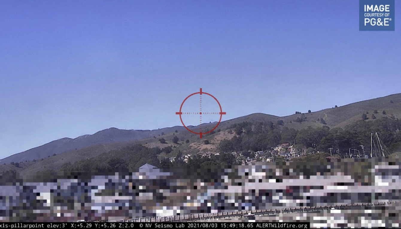
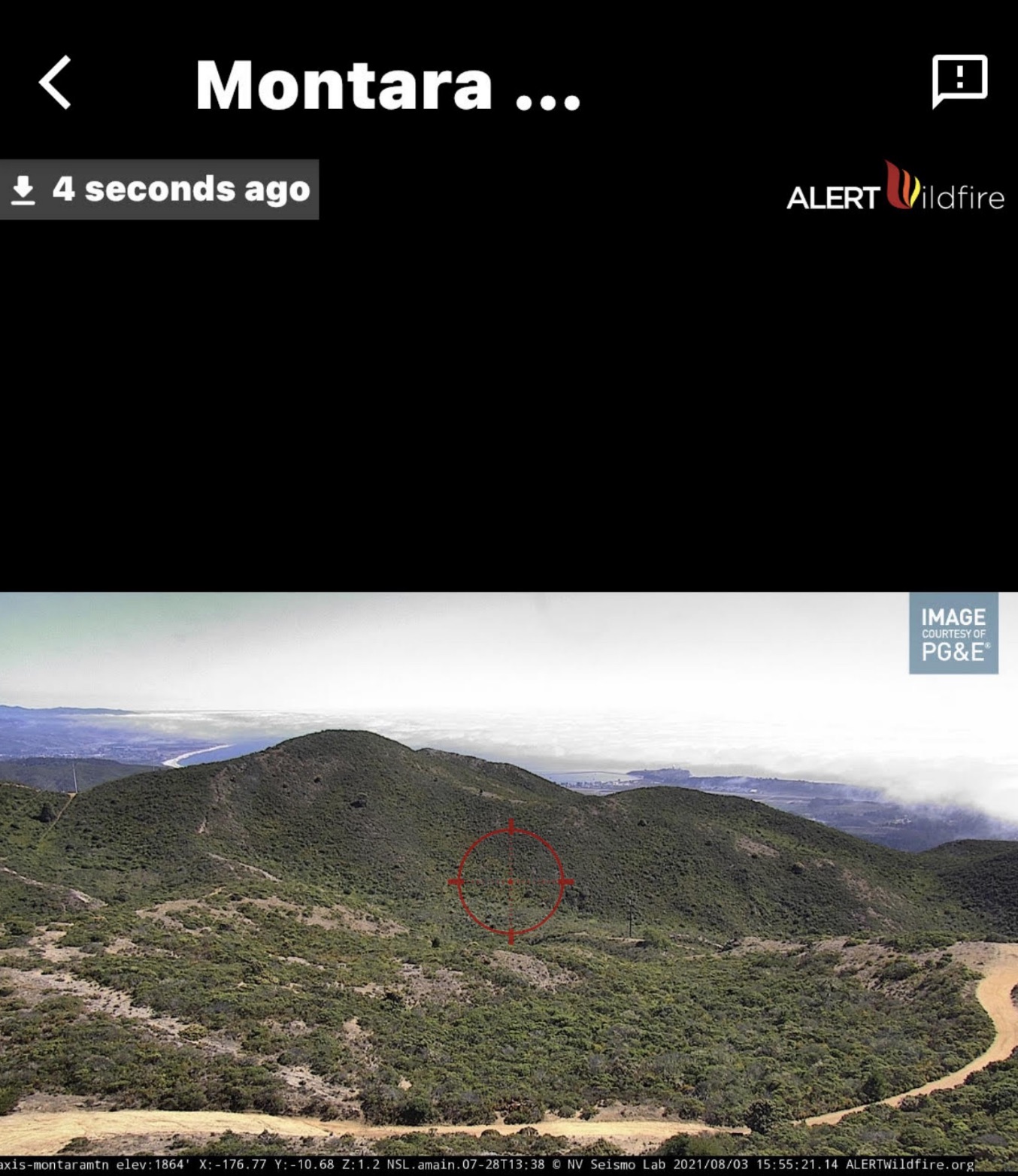
INFORMATIONAL. Cameras views are from the Smoke Point App, a partnership with ALERTWildFire cameras (see below) and PG&E.
Learn more about how you can use the Smoke Point App
to spot and report fires.
CLICK for Coastside CERT Smoke Point presentation
ALERTWildfire is a consortium of The University of Nevada, Reno, University of California San Diego, and the University of Oregon providing fire cameras and tools to help firefighters and first responders:
- Discover, locate, and confirm fire ignition.
- Quickly scale fire resources up or down.
- Monitor fire behavior during containment.
- Help evacuations through enhanced situational awareness.
- Observe contained fires for flare-ups.
Contact Information for ALERTWildFire
For those parties interested in installing ALERTWildfire cameras in your county, state, region or internationally, please contact Dr. Graham M. Kent, University of Nevada, Reno at: gkent@unr.edu, or cell: 775-527-1574. The ALERTWildfire team (universities and partners) can assist in building fire camera infrastructure from the ground up, and/or use existing infrastructure to rapidly deploy a system within a region in just a few months.
Previous fire camera installations have been funded through a variety of public and private sources, including Bureau of Land Management, U.S. Forest Service, utilities, state emergency services (e.g. CALFIRE), counties and NGOs (e.g., Tahoe Prosperity Center).
Other regional ALERTWildfire contacts include:
Idaho, Nevada: Dr. Ken Smith, University of Nevada Reno, ken@unr.edu
California: Dr. Neal Driscoll, University of California, San Diego, ndriscoll@ucsd.edu
Oregon: Dr. Doug Toomey, University of Oregon, drt@uoregon.edu
About ALERTWildfire
ALERTWildfire is a consortium of three universities — The University of Nevada, Reno (UNR), University of California San Diego (UCSD), and the University of Oregon (UO) — providing access to state-of-the-art Pan-Tilt-Zoom (PTZ) fire cameras and associated tools to help firefighters and first responders: (1) discover/locate/confirm fire ignition, (2) quickly scale fire resources up or down appropriately, (3) monitor fire behavior through containment, (4) during firestorms, help evacuations through enhanced situational awareness, and (5) ensure contained fires are monitored appropriately through their demise.
ALERTWildfire is an expansion of the first network, ALERTTahoe, which was a pilot program deploying PTZ cameras and microwave networks in the region surrounding beautiful Lake Tahoe. This initial project was funded through the Nevada Seismological Laboratory (NSL) at UNR, the Tahoe Prosperity Center, the Eldorado National Forest, and the USFS Lake Tahoe Basin Management Unit. Soon thereafter, through a contract with the Nevada Bureau of Land Management, the network quickly grew eastward into northern Nevada where the BLM Wildland Fire Camera Project was born. With growing successes in the summers of 2014-16, new contracts with the Oregon-Washington and Idaho Bureaus of Land Management, and San Diego Gas and Electric (SDG&E), provided further expansion of new fire cameras and microwave locations, and core university participation as UCSD and UO came aboard. Sonoma Water, Southern California Edison, Pacific Gas and Electric, CALFIRE, NV Energy, and many counties, including Marin, Sonoma, Contra Costa, and San Luis Obispo have joined ALERTWildfire to make a statewide network in California a reality. 300 new cameras were installed in the year following the Camp Fire (2018) in California alone, with another 300 new cameras in the Western US during the historic 2020 fire season. Installations in 2021 should top another 175+ fire cameras across 5 states!
During the past five fire seasons (2016-2020), ALERTWildfire provided critical information for over 1500 fires, including the LNU, SCU, CZU, August and North Complex Fires this past year, and in previous years included: the Kincade, Cave, Maria, Saddleridge, Woolsey, Lilac, Wall, Whittier, Thomas, Tule, Woodchuck, Earthstone, Draw, Snowstorm, Hot Pot, and Emerald fires; a 2016 arson spree in Lake Tahoe; and hundreds more. In late 2017, the devastating North Bay Complex and Thomas fires brought into sharp focus the need to quickly expand coverage across the western US. Two years later, the ALERT North Bay network provided real-time monitoring of the Kincade Fire from inception and helped provide an environment where no lives were lost nor injuries in the first 24 hours of the fire during wide-spread evacuations—a first for a large escaped, wind-driven fire in California. The loss of life and infrastructure, especially in 2017 & 2018, have only strengthened our resolve to implement a comprehensive network throughout the western US. Although the three partner universities had been building their own redundant microwave networks to reliably acquire imagery, it became obvious that deploying new infrastructure to cover large areas in a short period of time was not realistic. Thus, a new strategy was adopted in early 2018 to install cameras on existing third-party microwave networks, to build larger virtual networks, produce regional coverage, and do it quickly! In this model, “towers of opportunity” (e.g., Wireless Internet Service Providers, state and county services, and other private point-to-point communications infrastructure) are outfitted with fire cameras and associated equipment to potentially allow one hundred or more fire cameras to be installed in a single season. The data from these confederated networks are seamlessly incorporated into NSL’s back-end acquisition systems and presented on our Amazon Web Services website in a straightforward manner. To firefighters and first responders, it means “more cameras, more quickly”, which equals better decision making capabilities. Now dozens and dozens of cameras can be installed in a single month as the goal of 1000 cameras in California by 2022; efforts to scale up in other states and countries are underway. Stay tuned!
https://www.coastsidecert.com/
More on HAM Radios on Coastside Buzz


