|
Getting your Trinity Audio player ready...
|
PLANS. aka Armoring plans via San Mateo County Public Works.
Introduction
This Memorandum summarizes the basic fluvial geomorphic assessment of Arroyo de en Medio performed by WRECO for the County of San Mateo Department of Public Works (County) to quantify impacts from the Mirada Road Pedestrian Bridge Replacement Project (Project). The existing conditions and the potential Project impacts are discussed.
Project Description
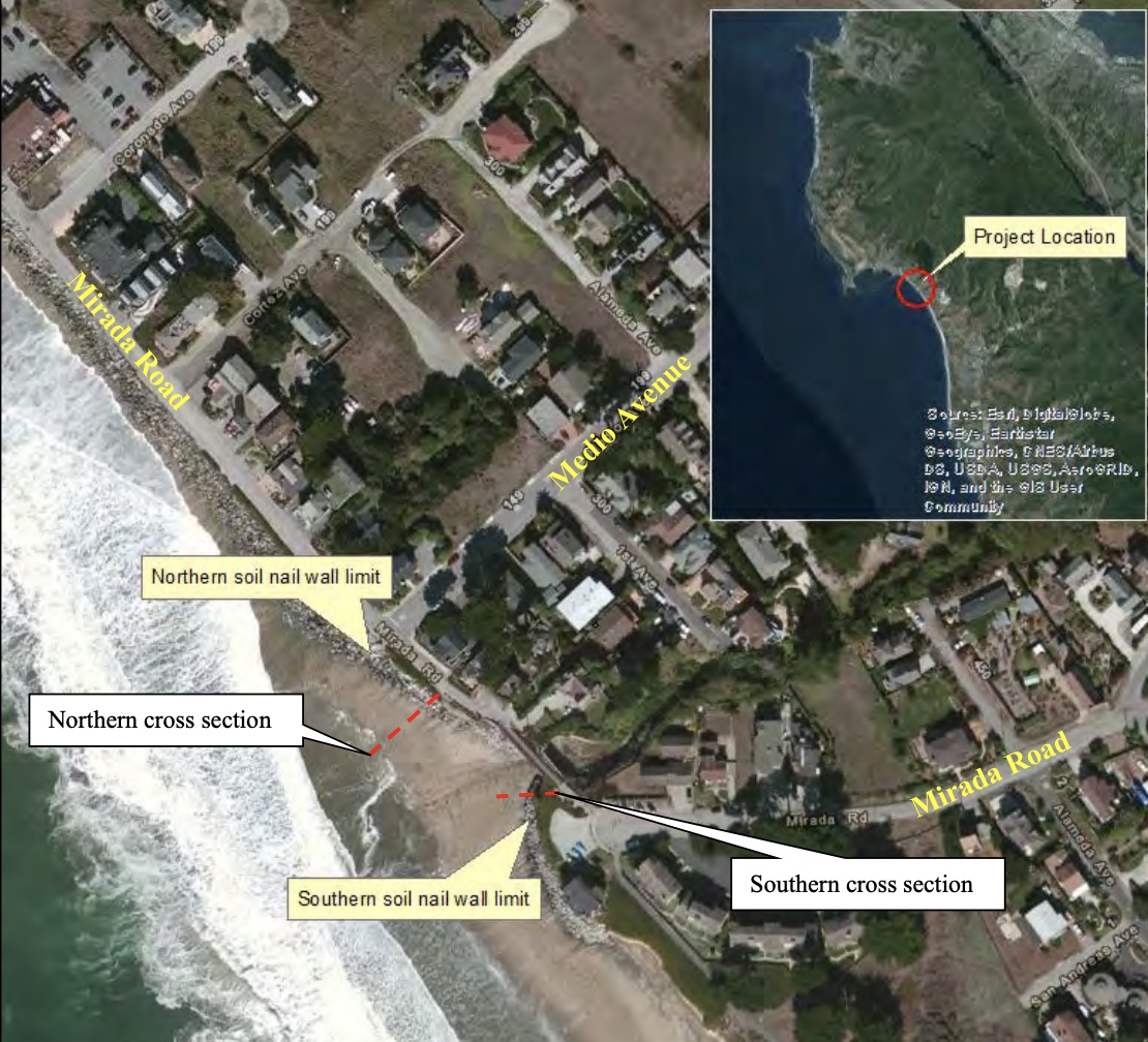
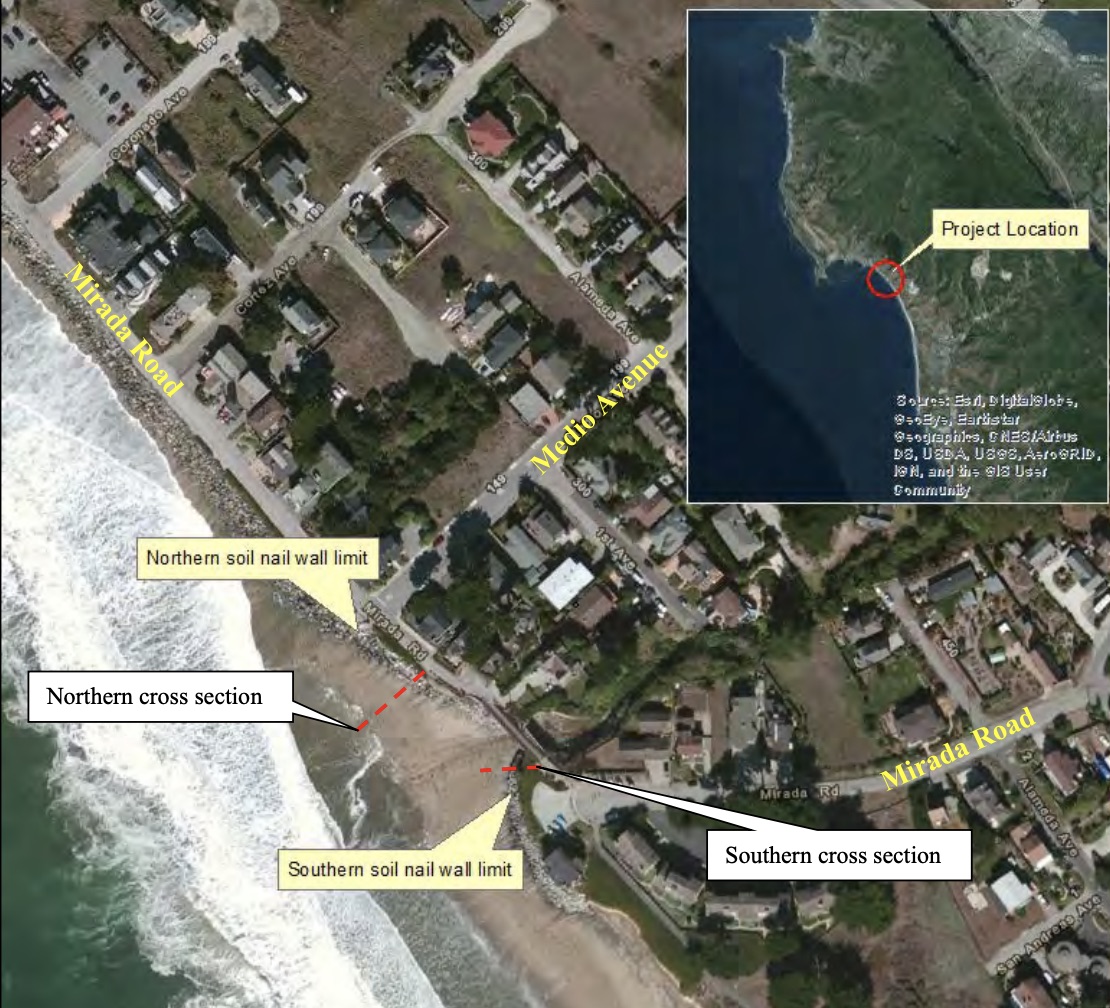
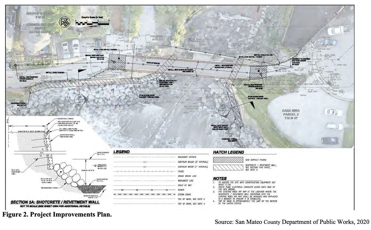
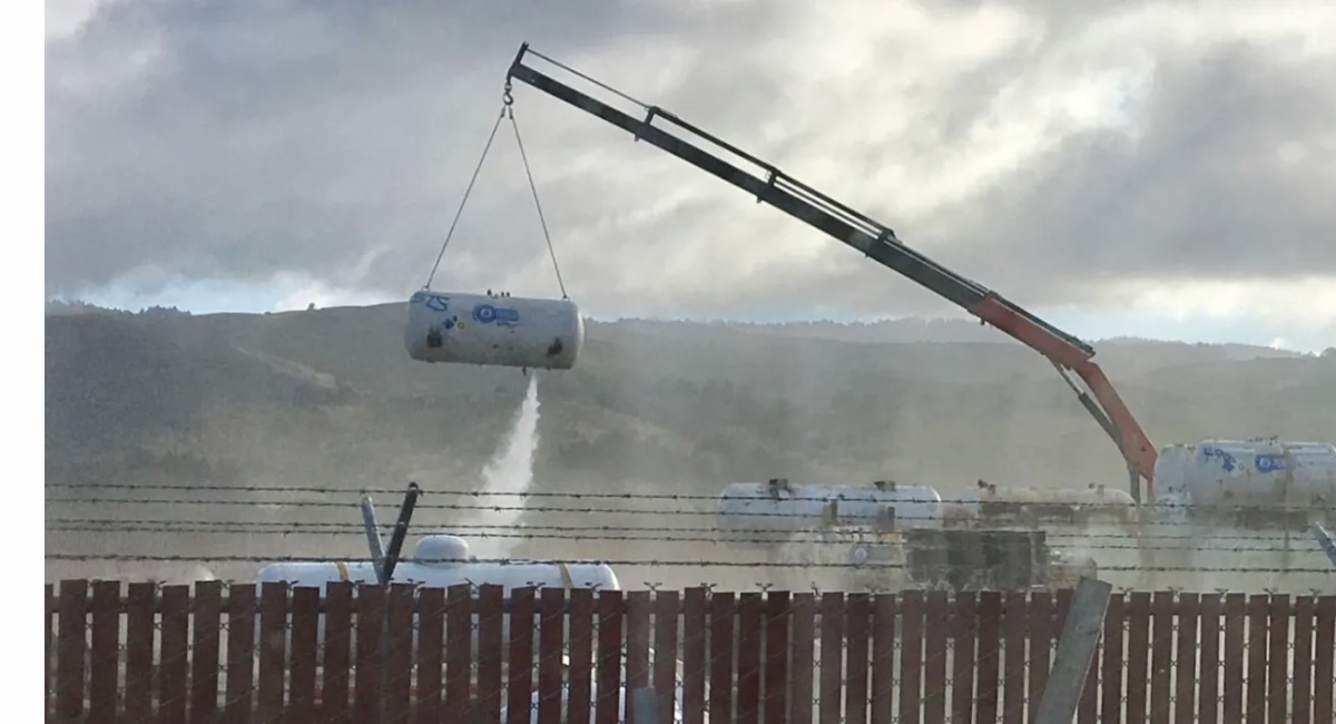
To serve the Coastal Trail, the County proposes to remove the existing concrete arch bridge and metal pedestrian bridge as well as place a new aluminum pedestrian bridge crossing the Arroyo de en Medio. To protect the bridge, trail, roadway, and utilities, the Project would install shotcrete walls with tieback anchors as well as rock slope protection (RSP) along the bluff face and sections of the north and south banks of the Arroyo de en Medio. The Project will also include relocation of existing utilities supported by the existing bridge. The Project location is shown in Figure 1, and the Project Improvement Plan is shown in Figure 2.
The wall would be approximately 170 feet (ft) in length at the first location to the north of the pedestrian bridge, and 110 ft in length to the south of the pedestrian bridge. The 170-ft wall is within the County’s right-of-way and the 110-ft wall is within the City of Half Moon Bay’s (City) right-of-way. The typical cross section of the proposed soil nail wall, provided by the County, is included in the attachments. The soil nail wall’s concrete is 6 inches thick. At the 170- ft segment of wall, there is an average of 2.5 ft of controlled low strength material (CLSM) behind the wall, for a total thickness of 3 ft.
Fluvial Geomorphic Assessment
The Project proposes to make changes to the channel at the mouth of where Arroyo de en Medio discharges into Pacific Ocean. Arroyo de en Medio was assessed for potential impacts due to the proposed Project actions.
This study considers two factors of the fluvial geomorphic system within Arroyo de en Medio, the present stability of the channel, and the potential change in hydraulics. The channel stability is assessed by considering watershed wide features, as well as areas of stability and instability near the Project. Changes in the hydraulics are assessed by considering changes to the hydrology of the watershed, and the hydraulics of the channel due to changes in geometry.
Present Stability
The present stability of Arroyo de en Medio appears to be good. The watershed has undergone a relatively small amount of urbanization, which increases the likelihood that the creek is in a state of natural dynamic stability. However, the soils of the watershed include sand, which is less cohesive than clay, and small enough to be easily transported by streamflow. These soils make the creek bed and banks less resistant to changing in hydraulics.
Watershed Features
The USGS StreamStats application was used to determine watershed parameters of Arroyo de en Medio. The application reports that Arroyo de en Medio has a watershed of 1.1 square miles (see Figure 4) and mean annual precipitation of 31.7 inches. StreamStats also reports data from the National Land Cover Database and shows that as of 2011, the watershed was 14.9% “urban” and 3.2% impervious surfaces. With this relatively small percentage of impervious surfaces, the regional regression equations developed by Gotvald et al. (2012) are a reasonable approximation of the peak flows. Those flows are presented in Table 7.
Read More
[pdf-embedder url=”https://www.coastsidebuzz.com/wp-content/uploads/2021/02/WRESCO-2021-02-02-MiradaBr-river-sand-memo.pdf” title=”WRESCO 2021-02-02-MiradaBr-river-sand-memo”]
A Bit of Medio Bridge History
Thanks to Dave Olson of the Midcoast Community Council for the below graphics.
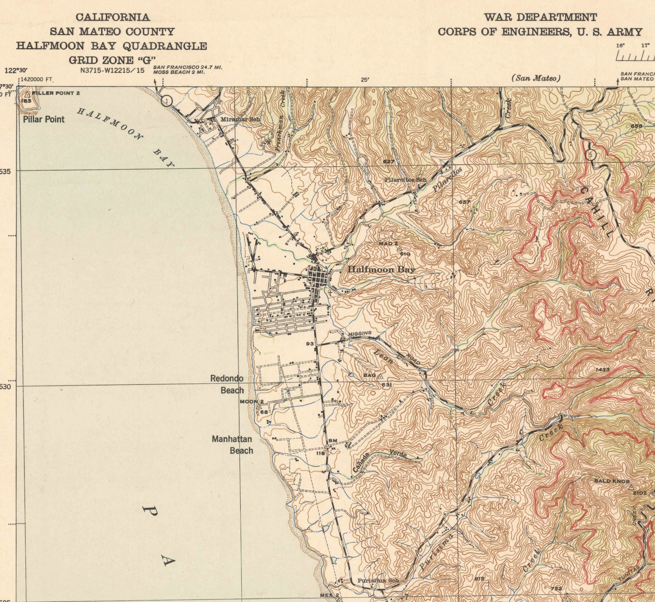
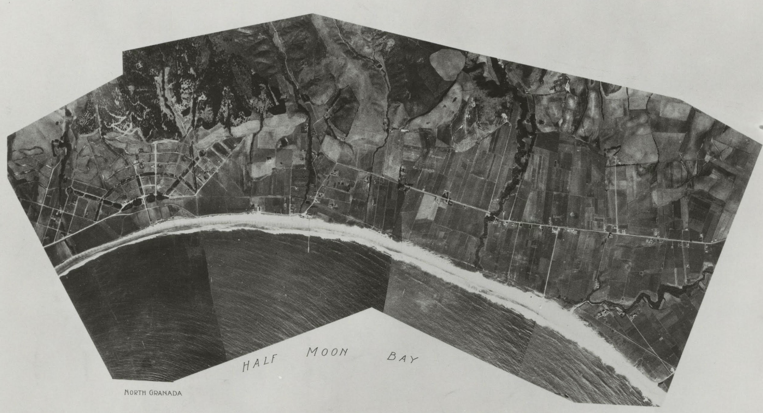
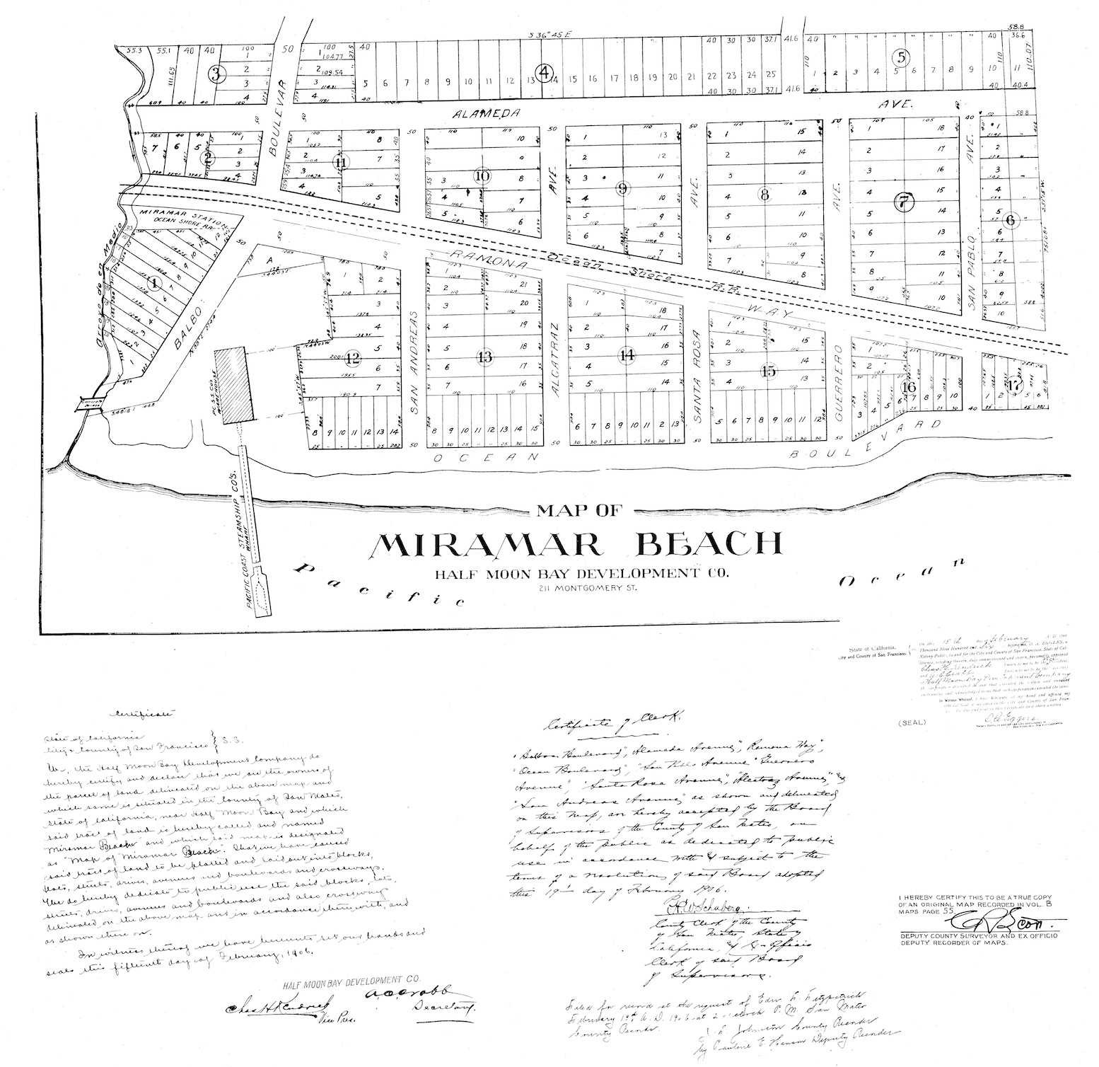
Midcoast Community Council


