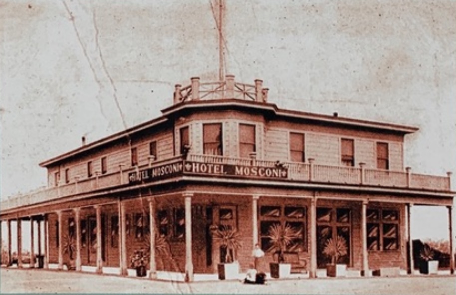
HISTORICAL DOCUMENTS. From the Environmental Services Agency Planning and Building Division, San Mateo County General Plan approved by the Supervisors November 18th, 1986.
Below is the sum total of the bicycle and pedestrian planning through 2000.
We have made quite a bit of progress with Connect the Coastide (CTC) planning process
SMCo Bicycle and Pedestrian Travel Plans Nov. 1986
[pdf-embedder url=”https://www.coastsidebuzz.com/wp-content/uploads/2021/03/SMC-GP-1986.pdf” title=”SMC-GP 1986″]
See page 12.57
1. Updating the County Bikeways Plan
In 1976, the Board of Supervisors adopted the County Bikeways Plan, a report setting forth a program for implementing a countywide system of bikeways.
This report, which included a map of bike routes in the County, has served as a basis for the annual evaluation by the Bikeways Committee of projects competing for State funds. During 1982-1983, the Bikeways Committee reviewed and updated the Bikeway Plan map. The revised Bikeway Plan as proposed by the Committee appears on page 12.59. Routes on the County plan are regional in nature and can be supplemented by local routes within cities or unincorporated areas. Adoption of this plan, as a portion of the County General Plan would provide an up-to-date guide for future bikeways developments in the County.
2. Planning, Constructing, and Maintaining Bikeways
The responsibility for planning, constructing, and maintaining bike routes, lanes, paths, and storage facilities rests with city and County governments. Since the proposed Bikeways Plan crosses many city boundary lines, a concerted effort is required by each city, as well as the County, in order to implement this plan. This entails planning and designing facilities, applying for grants, constructing facilities, and maintaining them, once complete. However, the level of effort devoted to bikeways varies considerably from city to city. Not all cities include a section on bicycles in their General Plans, and many cities never apply for State bikeways grants, even though 100% of the project cost is eligible for funding. Bikeways frequently become littered with gravel and broken glass, and potholes develop, but in many cases these problems are neglected. Within County government, no department has been designated as responsible for developing and maintaining a bikeways system in the unincorporated areas. To achieve its full potential as an alternate transportation mode, bicycling in San Mateo County needs more attention and support by local government.
2000 San Mateo County Comprehensive Bicycle Route Plan
[pdf-embedder url=”https://www.coastsidebuzz.com/wp-content/uploads/2021/03/San-Mateo-County_201402211036497033.pdf” title=”San Mateo County_201402211036497033″]
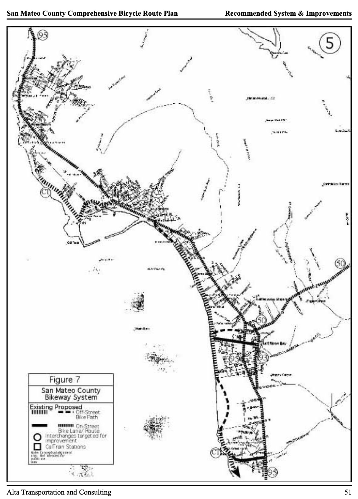
Coastside Bicycle Projects: spot and corridor improvements along Highway 92 between Half Moon Bay and Highway 35 (including improvements to the SR 92/SR 35 intersection), and extensions of the Coastside Trail along the shoreline north and south of Half Moon Bay.
City of Half Moon Bay
Population 11,550 (1998 est.)
Half Moon Bay is a growing ocean-side community located midway down the western side of the County. A local airport is located on the northern portion of the City. Highway 92 connects the city to I-280 and eastern side of the County.
The predominant bike routes in the City are along Highways One and 92, although Highway 92 is steep, curving and has narrow shoulders. The City has developed a multi-use trail along the coastline and has plans and funding for several major extensions of the project, which will eventually extend from south of Half Moon Bay to Montara.
The planned State Route 1 tunnel between Montara and Pacifica will provide access for bicycles. At completion, the existing Route 1 alignment through Devil’s Slide will be opened for bicycle and foot travel exclusively, creating one of the premier bike path facilities in the country.
Project #9:
Coastside Bikeway Projects City(ies):
Half Moon Bay, County
Primary Responsibility: Public Works of Cities Listed Above
Right-of-Way Control: Cities, Caltrans
Required Studies/Actions Preliminary design, design
Cost: $1.4 Million
The San Mateo County coast around Half Moon Bay is a rapidly growing area and a major recreational destination for bicyclists. Coastside Bikeway Projects include Highway 92 between I-280 and Half Moon Bay, which serves as the primary east-west route in the County for motorists and bicyclists alike. Currently, bicycles are temporarily not allowed west of Skyline Boulevard at the summit due to re-construction of the highway. This project consists of improvements to the corridor and specific locations, such as the Highway 92/Highway 35 (Skyline Boulevard) intersection immediately west of I-280. This intersection is problematic for bicyclists because of the high speeds and limited visibility and room for bicyclists, especially those transitioning from eastbound Highway 92 to northbound Skyline Boulevard. Planned and potential improvements include (a) new 7 foot shoulders along the entire length of Highway 92 from Highway 35 to Highway 1, and (b) a new pathway along the south/west side of Highway 92 between the Highway 35 intersection and the I-280 Bike/Pedestrian over-crossing.
Other Coastside projects include extensions of the Coastside Trail north and south from Half Moon Bay, providing a paved multi-use trail for recreational cycling and an alternative to using busy Highway 1.
The Pilarcitos multi-use trail will connect downtown Half Moon Bay with the Coastline Trail, providing a safer, grade separated crossing of Highway 1. South of Half Moon Bay, the trail is called Coastal Trail.
Phase 2 Action Plan
Including Cost Estimate!
on Coastside Buzz
2021 Bicycle and Pedestrian Planning Progress with
on Coastside Buzz


