|
Getting your Trinity Audio player ready...
|
FEEDBACK. From the Midpeninsula Regional Open Space District (MROSD) website.
Community input is a key element in this process and is due by Friday, December 10, 2021.
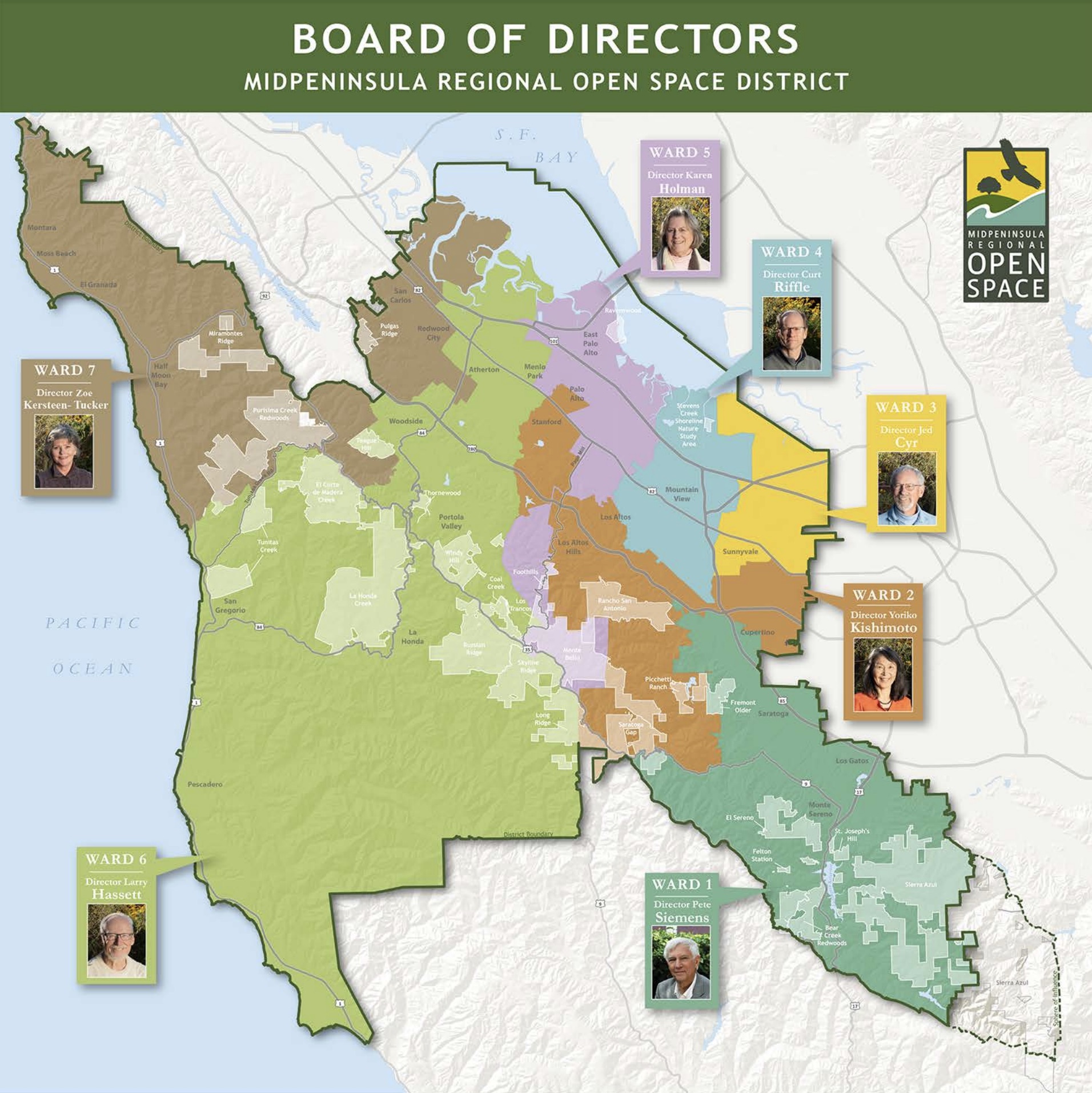
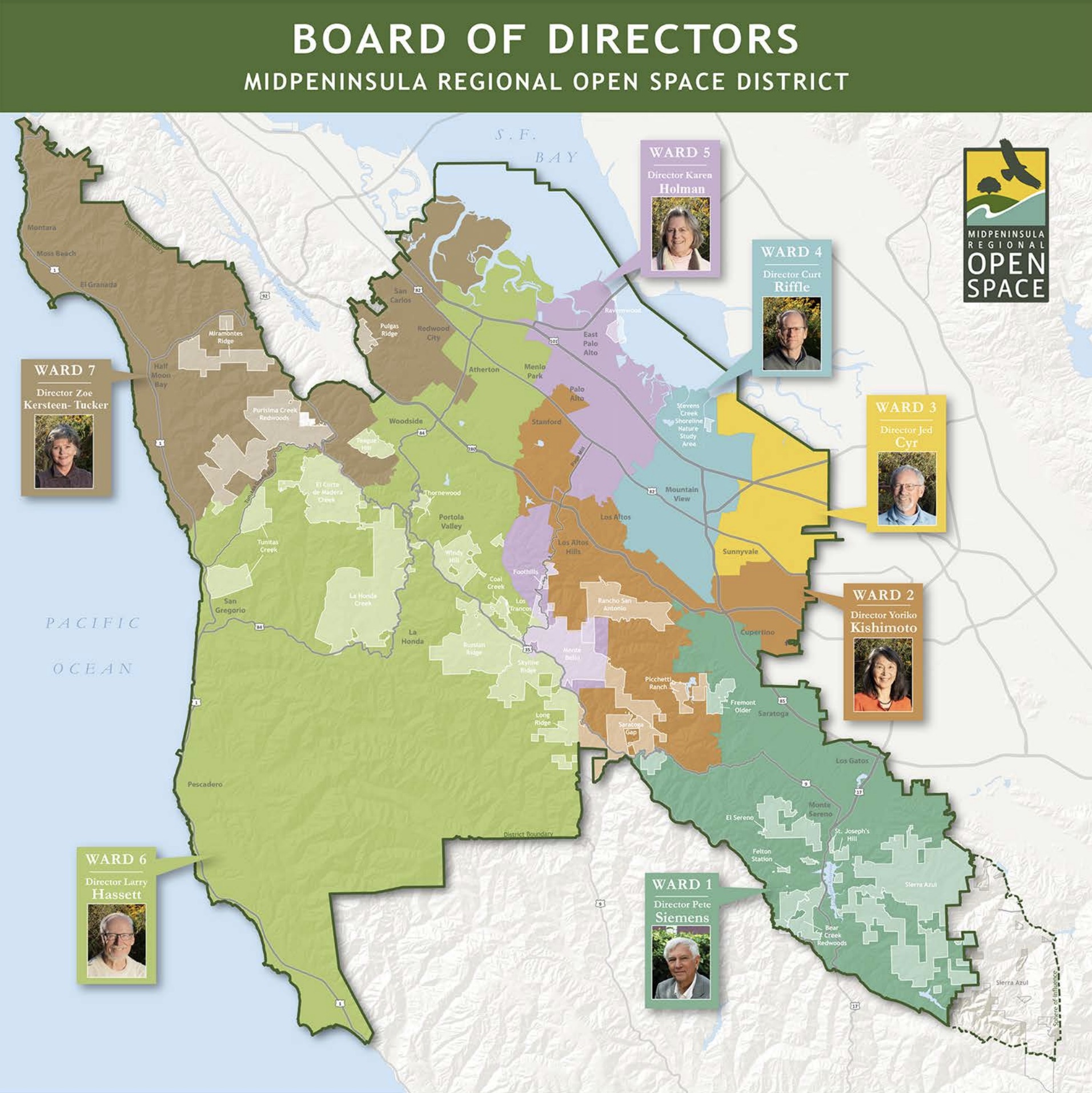
Redistricting is the process of adjusting the boundaries of voting districts every ten years following the decennial census, in order to ensure that representation mirrors population shifts. For Midpen, this means evaluating and adjusting the boundaries of its seven wards.
Every 10 years, following the federal census, Midpen’s board of directors is required by law to ensure the District’s seven wards remain substantially equal in population.

We Want Your Redistricting Map Feedback!
Let us know what you think about our draft ward maps
Like other public agencies, the Midpeninsula Regional Open Space District is governed by a board of elected officials. Each board member represents a ward of approximately the same number of constituents. We’re now looking at the changes in the communities within our boundaries over the past 10 years and redrawing ward boundaries to ensure equitable representation. Based on new 2020 census data, updated draft maps have been developed for board consideration.
Community input is a key element in this process and is due by Friday, December 10, 2021. Our online tool lets you add comments on an interactive map to provide input, share ideas and suggest things to consider when defining the new boundaries of each director’s ward.
COMMENT on the Updated Ward Maps
Using Board-adopted criteria to guide the redistricting process, staff have prepared three draft redistricting scenario maps for input from the Board and general public. You can provide your feedback on the new maps in the boxes below. Deadline for public comment is December 10, 2021.
Prioritizes major transportation corridors to divide wards.
Prioritizes city limit boundaries to divide wards.
Prioritizes minimal ward changes.


